Biking to Work
Biking to Work
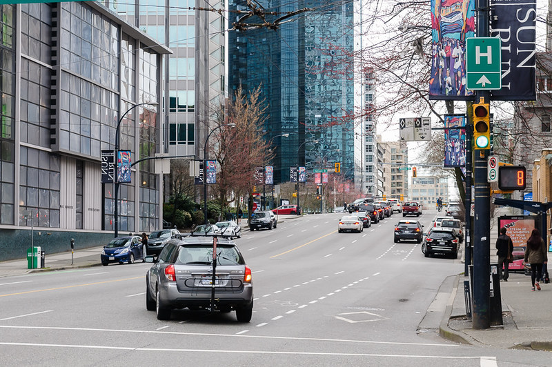
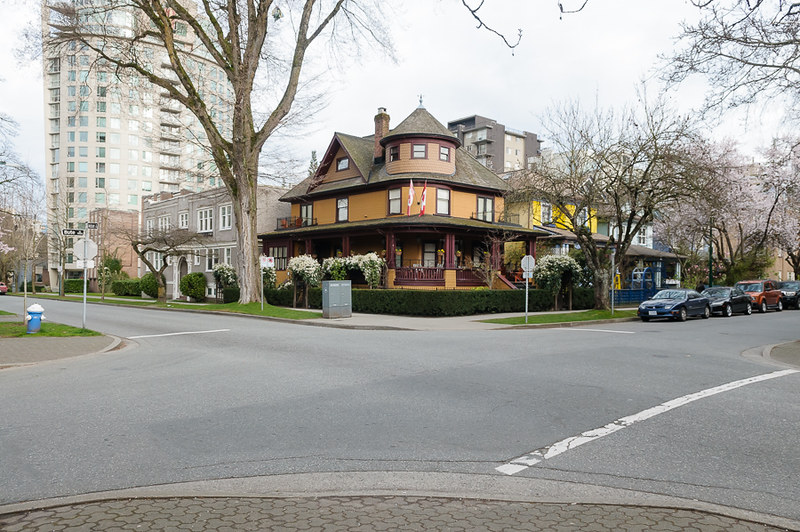
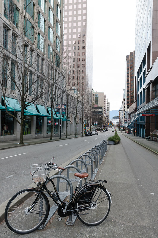
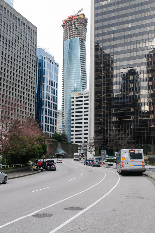
I live on a designated quiet street (Haro) on the edge of the West End in Vancouver and work Downtown on the corner of Hornby and Dunsmuir Streets - the two best downtown cycleways - making me a good candidate for cycling to work. Walking takes around 15 minutes. Cycling takes a variable amount of time, depending on how much excitement I want in my life.
Getting there
A to B
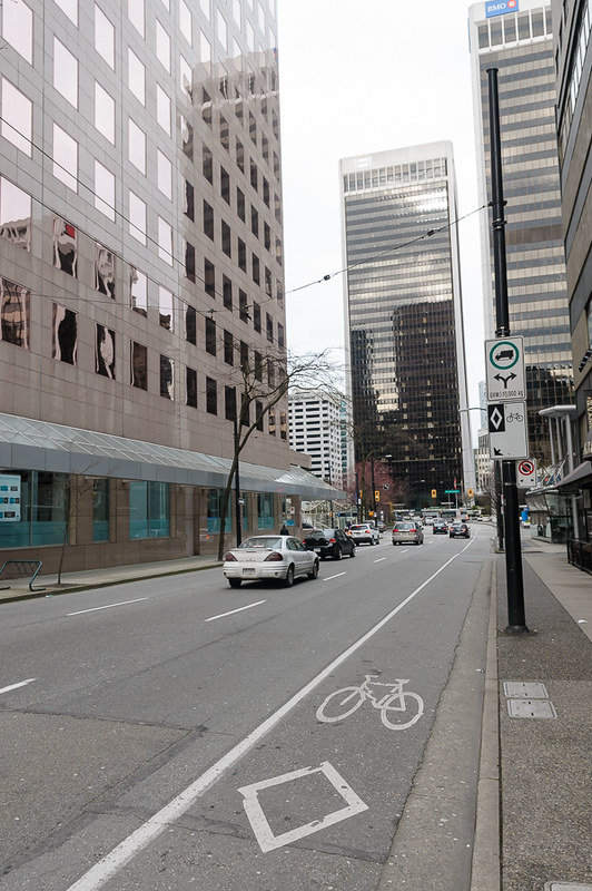
Here is my walking route - left on Thurlow, Right on Melville (becomes Dunsmuir) and in the front door - avoids the busy Robson and Burrard Street foot paths and has a diagonal (efficient!) - it’s the quickest route to work.
The bad news is that Thurlow is one-way and nowhere on this route is there any cycle infrastructure in the direction I need to go.
Plan B
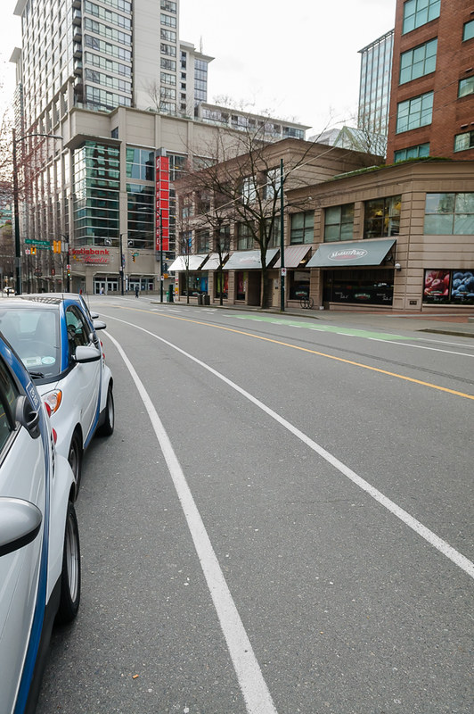
Conveniently, Smithe Street to the South East has a (painted) cycle lane and heads directly for Hornby (the holy grail!).
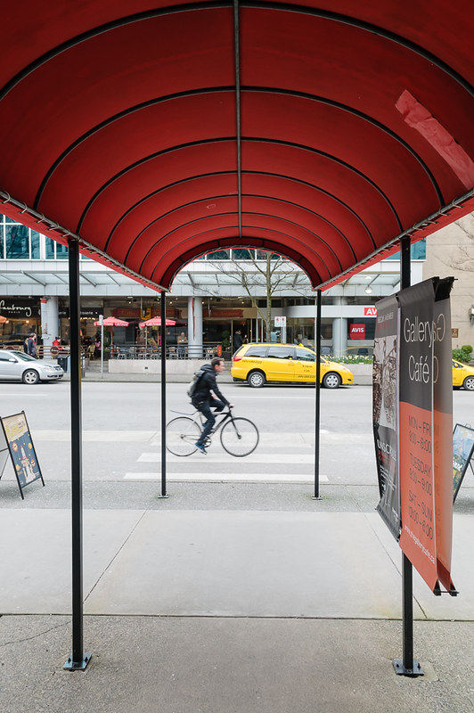
All photos taken early on a Sunday morning.
Let’s begin:
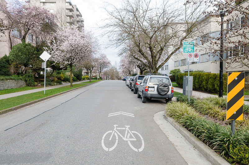
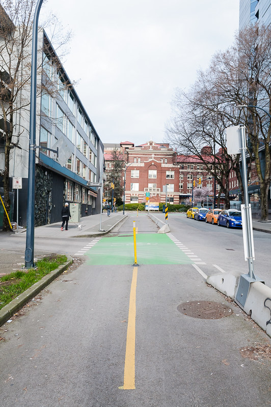
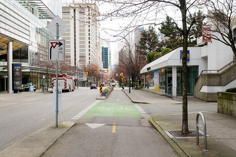
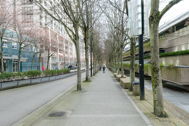
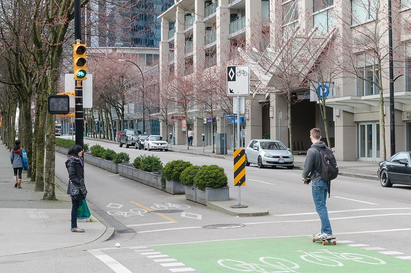
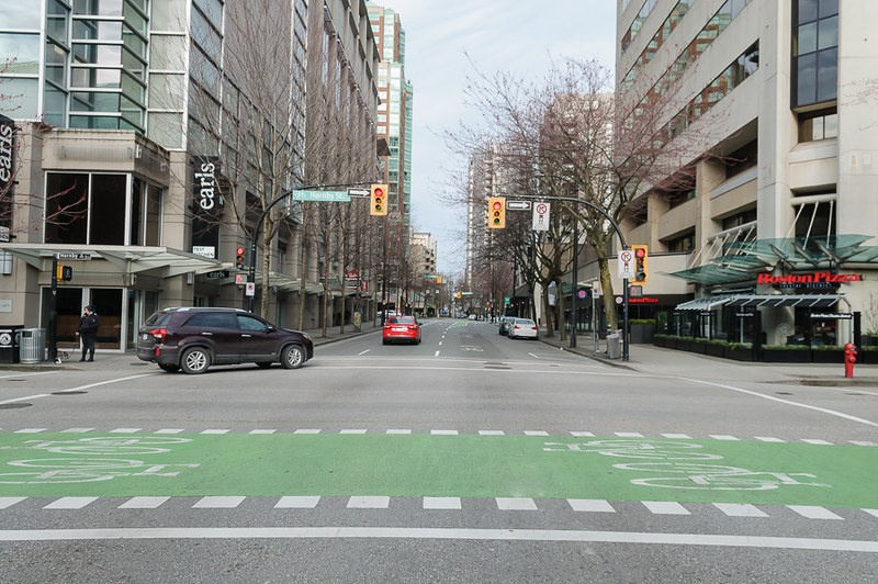
We start on Haro, my quiet street, across the intersection it becomes Smithe Street with it’s painted cycle lane.
A nice s-bend and many opportunities for interaction with car doors, but I won’t complain too much because we have some road space and half the car spots are for the diminutive Car2Go Smart Cars.
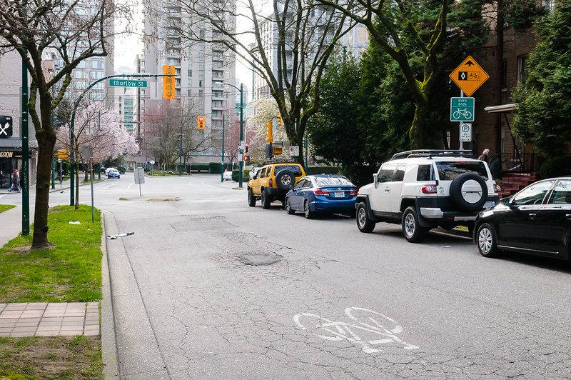
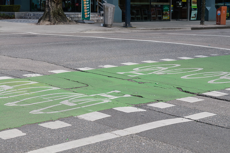
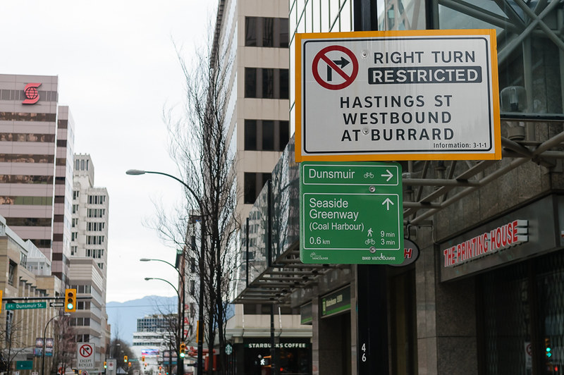
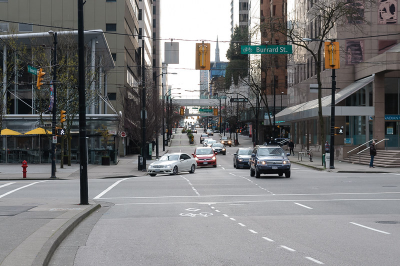
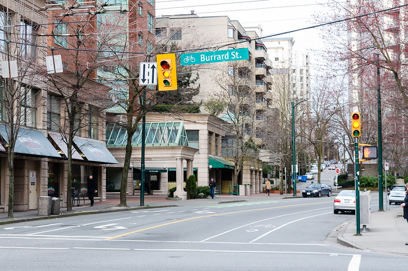
We approach the intersection with Burrard Street… trouble begins.
Oh Dear.
So our bike lane no longer exists and Smithe is one-way (the wrong way) across the intersection. Notice position of cyclist in this photo - you have no choice but to just give up.
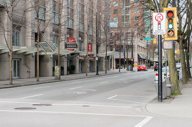
Turning right here will connect you to the Burrard Street cycle lane - we could take it a block down and turn left at Nelson (which has no cycle lane), but I’d rather not:
Twice I attempted to take the left lane and get across the intersection, but it’s huge and you’re stuck in the middle until the light turns red, all rather stressful and unsafe.
The bike lane was a cruel joke.
Now, when going this way, I dismount, cross Smithe then Burrard, hop back on and continue down Burrard (no cycle lane, very busy) down a block to Robson (no cycle lane, very busy, need to cross traffic to get into Cycle lane) then onto Hornby and down to work:
This route does work for coming home, however, which will be covered.
Plan C
There is actually a safe route to work, you’ll be relieved to hear. It’s an excellent route on which I enjoy cycling. It’s just a massive detour
- symptomatic of incomplete networks.
Total detour: 11 blocks (4 big and 7 small).
I’ll show you why it’s great regardless.
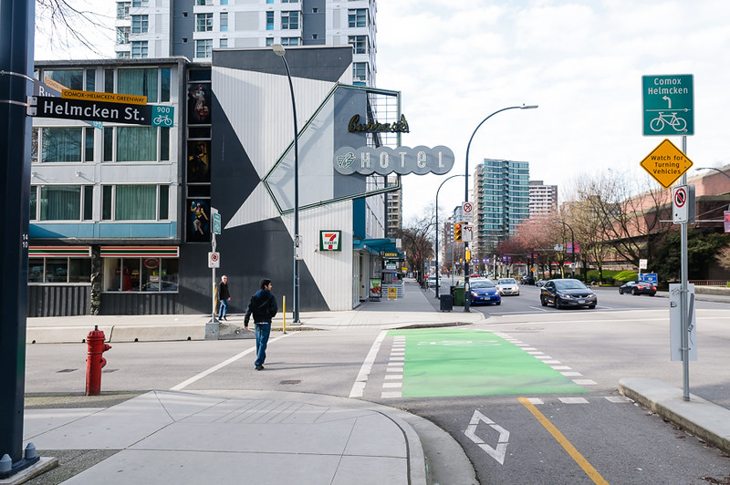
We start by heading up Haro to Bute - it’s a small intersection with tons of foot and cycle traffic - cars are very respectful and cautious as a result.
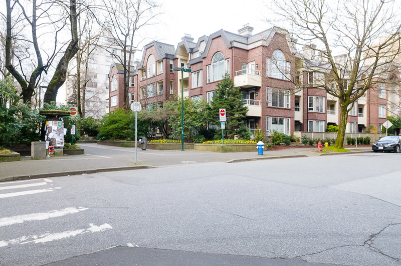
We’re going to turn left onto the pedestrianised area of Bute - this street was the reason we signed the lease on our apartment.
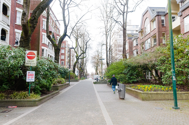
This soon ends and we’re into a typical West End street - tree lined and quiet - traffic diversion techniques keep non-local traffic to a minimum and as such there isn’t a huge need for cycle lanes (not that I’d let a 3 year old bike here - there are still lost out of towners (I can only assume) revving and hooting on occasion).
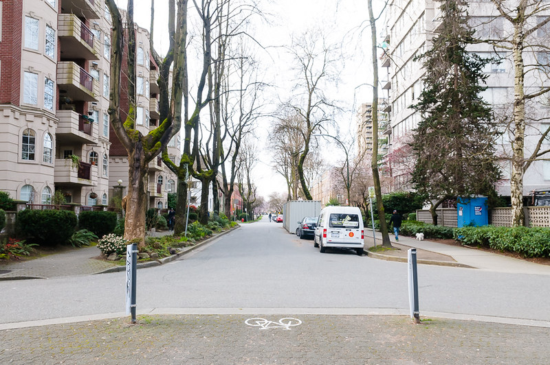
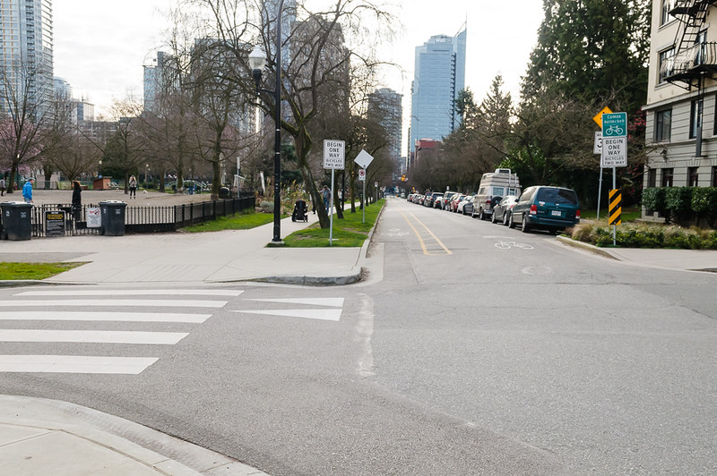
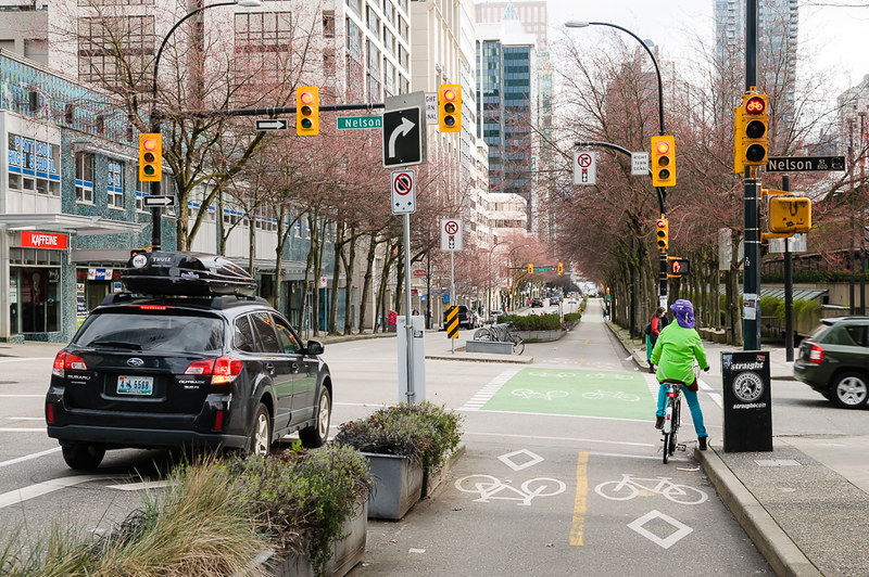
The only real difficulty is the four-way stop at Nelson Street - this is busy as Nelson Street connects to the multi-lane Cambie Street Bridge out of town. The four way stop makes it passable and cars generally (incorrectly) will give you priority.
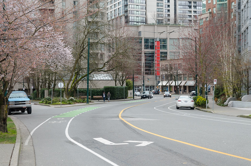
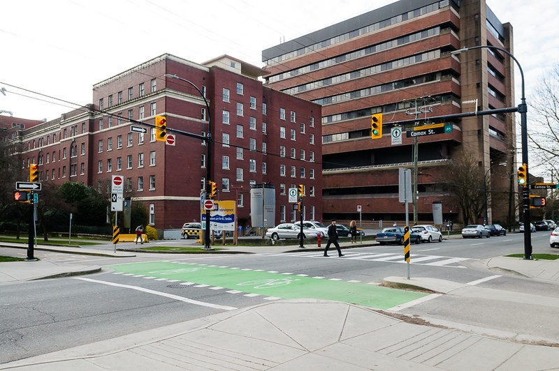
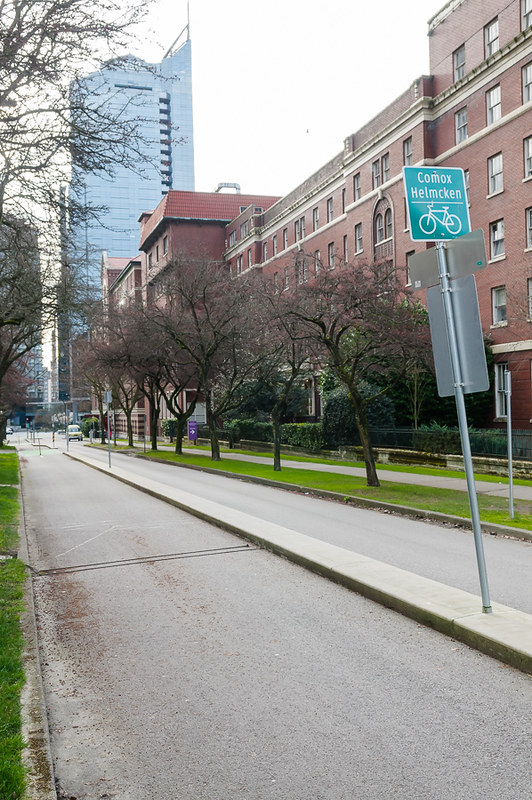
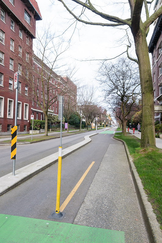
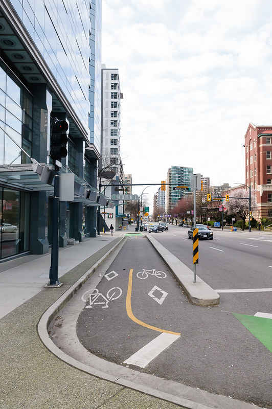
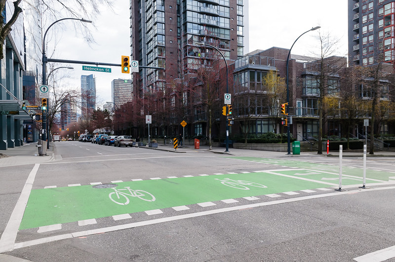
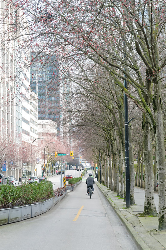
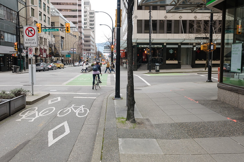
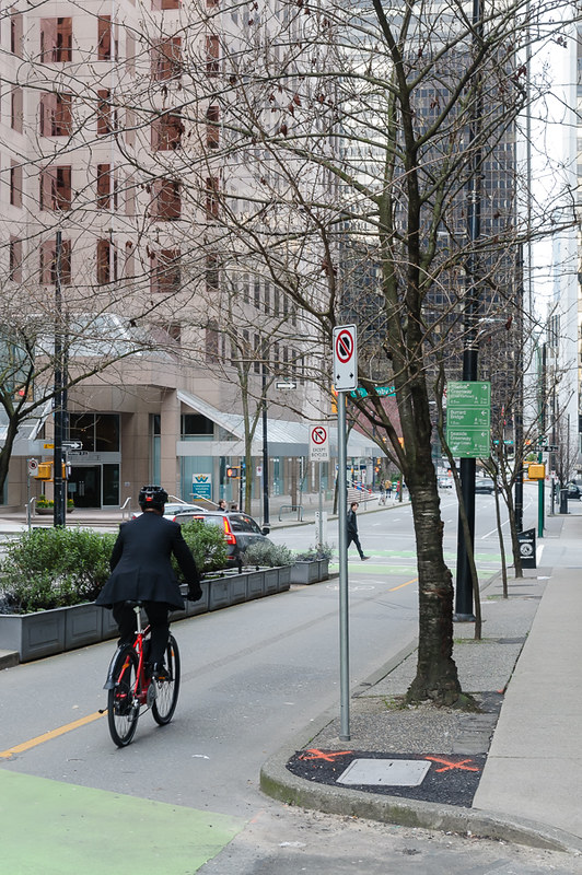
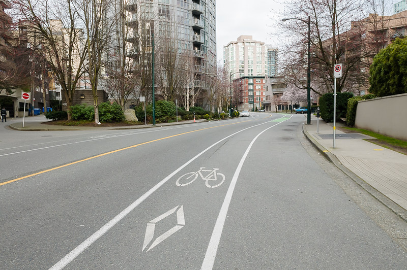
We then hit the Comox Helmcken Cycleway - this runs from Stanley Park to Hornby Street - seen here looking down the hill towards the park (opposite direction to which we are heading). It doesn’t look like much, but there is a separated lane heading up the hill most of the way and it’s quiet.
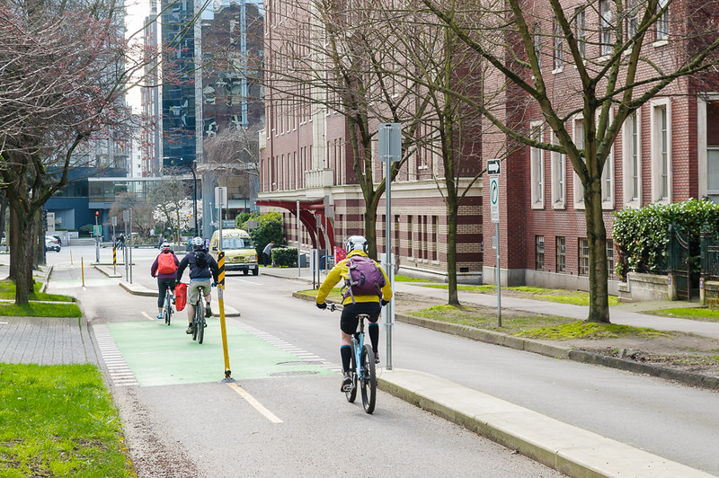
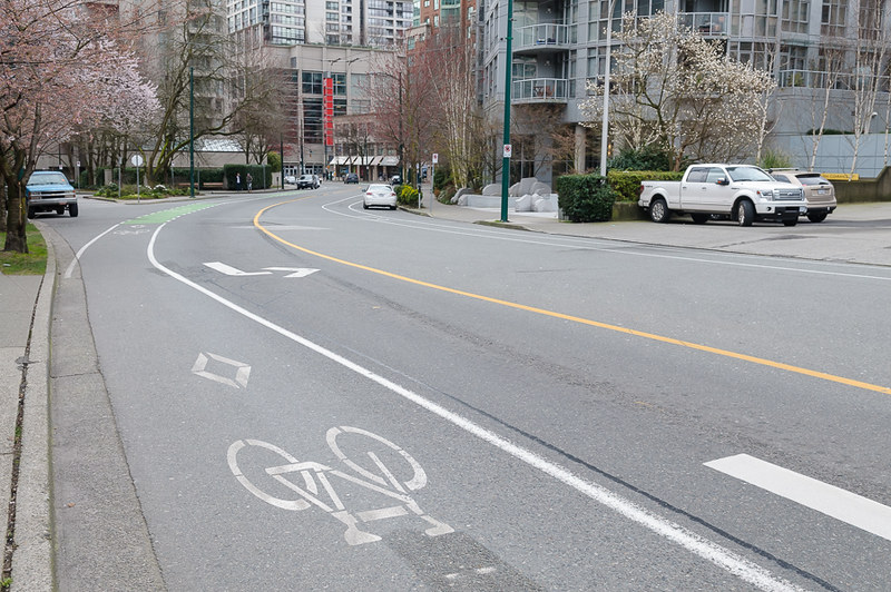
We’re heading South East - visible here is a raised pedestrian table, a one-way street with contraflow cyclelane and a dog park (all good things!). You can safely take the lane here to avoid doors. Again, not suitable for small children.
Down the way we hit our first proper cycle intersection. Lots of signage, but finally we see some separated lanes (the one-way contraflow continues)
Space for everyone:
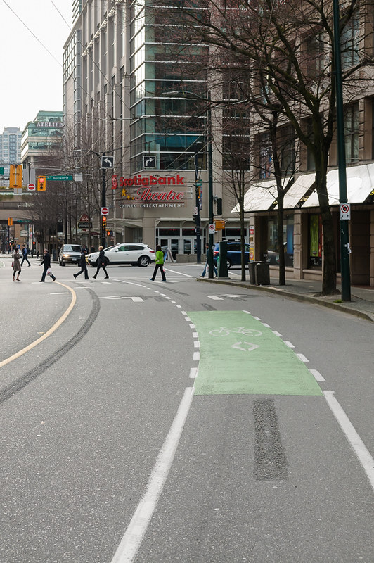
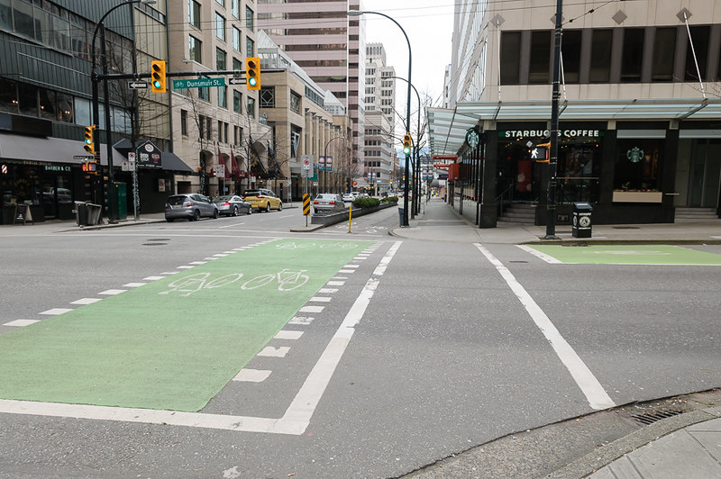
Across the intersection and we see 50% of the road committed to cycling
- no parking. Also pictured is one of several bike counters around town.
Helmets are required by law. I see about 70/30 (helmets/no helmets). I’ve not yet been fined.
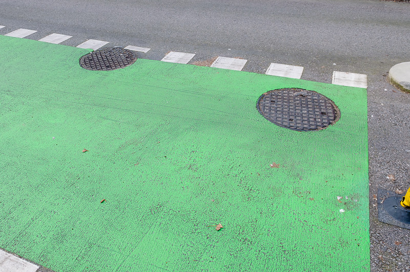
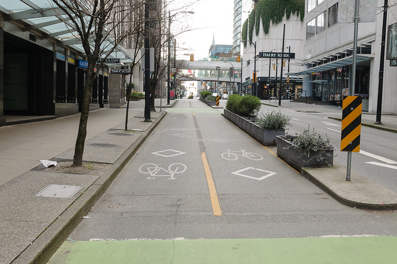
Surface quality is one gripe you’ll see covered a lot here, but this is the first : manhole covers…
..followed by an unnecessary curve resulting in an unsuitable surface (looking in reverse). As a result most people will ride on the left (aka the wrong side) to avoid this.
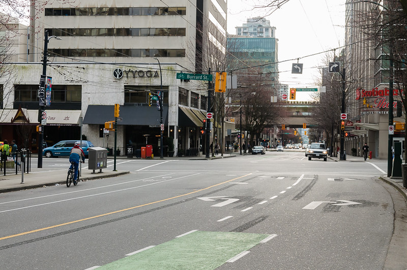
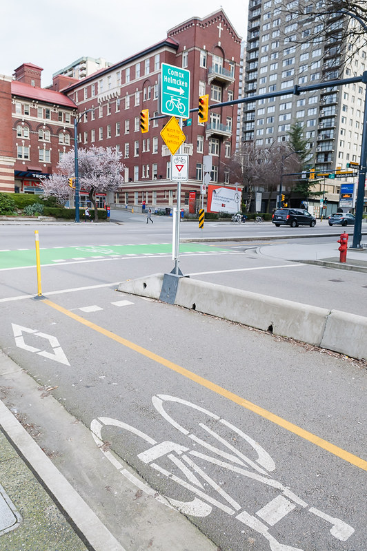
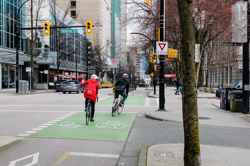
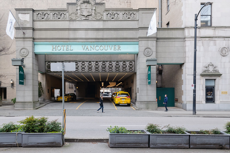
We approach our second intersection - Burrard Street (where we failed in Plan B). On the left is a driveway exit from a hotel, straight ahead is another hotel entranceway (watch out for taxis…).
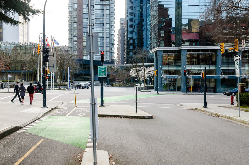
The diagonal bike crossing to the far side of the street is also visible
- there is a dedicated phase with pedestrians on the left. No pedestrian crossing on the right. Some people get confused:
Looking back - it’s a long stretch - big intersection, but safe enough.
We arrive on the far side with a tight corner…
…before taking another left. Pedestrians always have right of way - beyond that I just assume a car won’t drive me over (the sign tells them not to, after all)
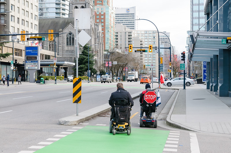
Looking back from whence we came (with wheeled pedestrians)
(looking backwards) Our safety barrier and wayfinding:
(looking backwards) Cycle lane interaction with laneway:
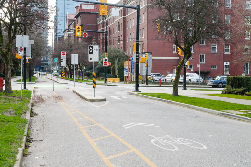
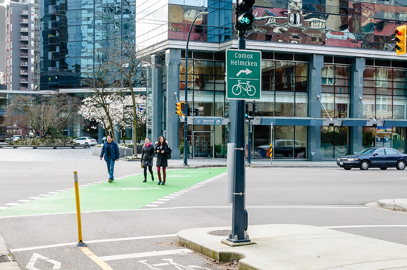
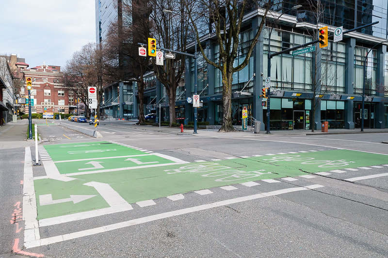
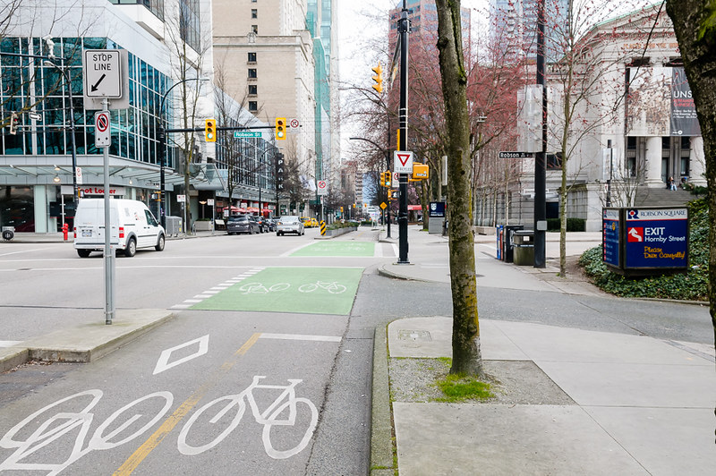
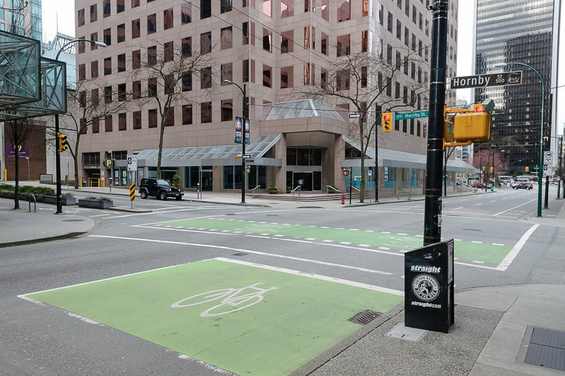
And we’ve arrived at Hornby Street! This is the most complicated intersection I’ve encountered. I walked down and watched people use it when I first arrived to make sure I knew what I was doing. Most people wing it. We’ve just arrived from the left:
Go straight across on a dedicated (again, with pedestrians, from left to right in the picture) phase and take your place in the box at the lower right facing towards Hornby, waiting for the next phase of lights. The white bollards are new. Cars can only go straight.
Looking back at the whole intersection:
The road condition here sucks, a lot.
But we made it - finally going in the right direction. Road, parking, planters, cycle lanes, foot path, trees and activated podiums - the Vancouver you read about.
Pedestrians still have right of way
Interaction with laneway (yes, cars pull out into this and block the cycle lane)
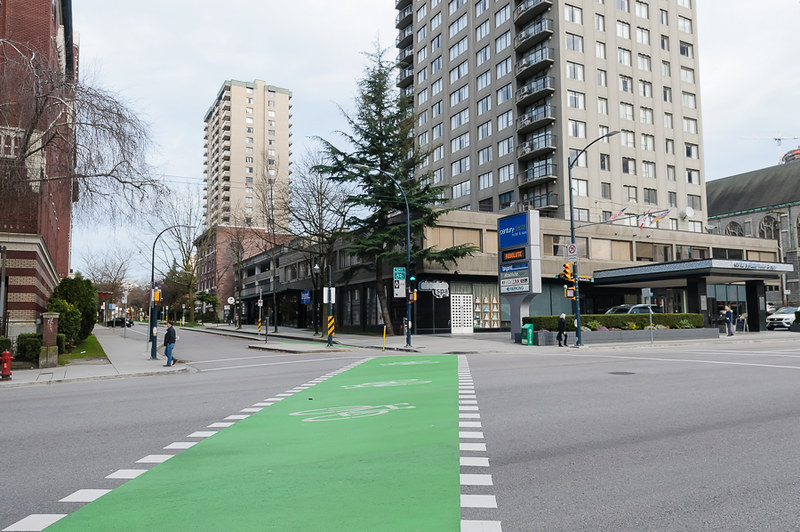
Back at Nelson Street (the four way stop we encountered previously). It’s one-way left to right, so bikes can go straight or right. The black car is in a right turn lane - this is resolved by the turning traffic getting a phase ahead of the cyclists and pedestrians.
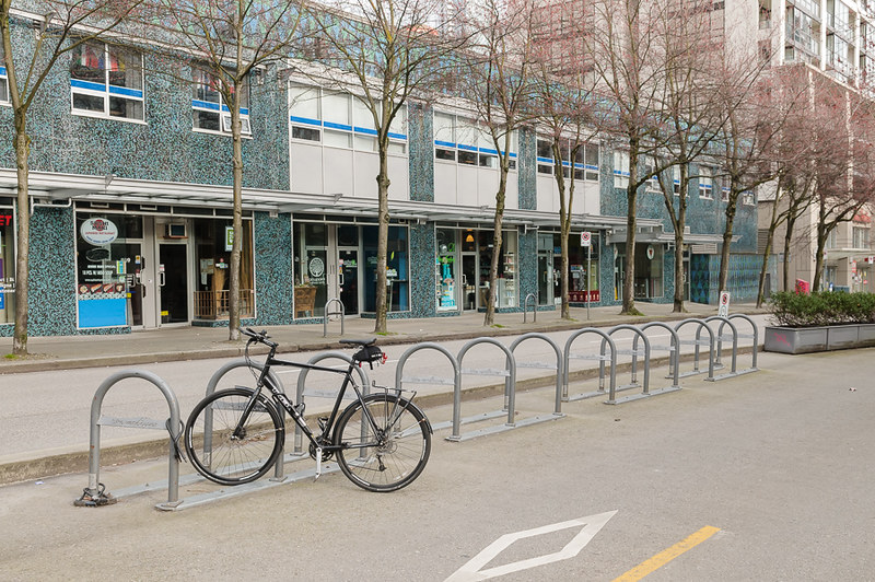
Ample bike parking connected to the cycle lane (saves everyone parking on the footpath). Downside is that this results in no kerb for leaning on when waiting for the light (see previous photo) - better to have the parking couple of meters down perhaps, to give some ‘stopped foot’ area. Similiar issues exist further down with only planters available (too high)
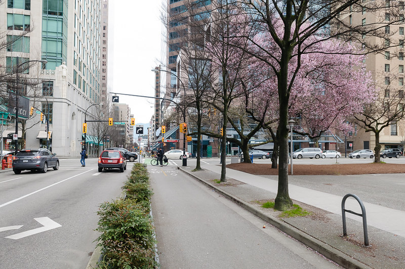
Always pretty, and a nice footpath too.
All ages and ability (small electric bike that I didn’t recognise)
Access to bike lane from a laneway on the opposite side. Not sure it’s that safe/practical when it’s busy, but it’s thoughtful:
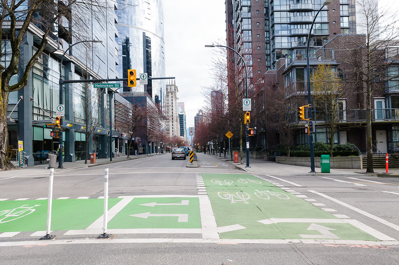
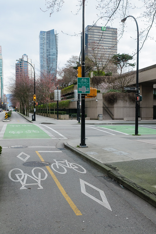
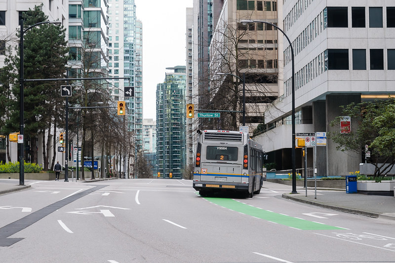
Now we arrive at Smithe (remember Smithe?) - it’s one-way from right to left (how could I forget?). This means that bikes can go straight or left. Going left requires the use of the Bike Box seen to the right. It’s also used for turning right coming from the opposite direction. The bike box is plenty big for turning around and is only rarely occupied by cars stopped too far forward. There is no real cycle lane on Smythe to turn onto, but we’ll cover that later for for the return trip.
More general purpose use:
We arrive at Robson Street. Visible on the right is a car park exit. This mostly works itself out. Robson is bidirectional so in theory bikes can turn either way, but without a dedicated phase or bike box I don’t see how a left turn is possible. The section of Robson to the right is closed to traffic all summer and is a well used public space
More ‘cyclists’
Across the intersection and we approach the art gallery. It requires a loading bay and there is a lot of foot traffic coming and going - the cycle way rises to curb level and has pedestrian crossings to help convey their right of way. In practice, people don’t look and change direction suddenly so caution is always required - people not familiar with the area will have no way of knowing it’s a cycle way, beside seeing bikes on it.
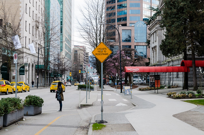
Planter boxes keeping the taxis away, with one removed to assist in jaywalking (or I assume so anyway)
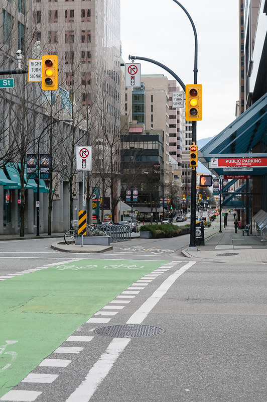
Intersection with West Georgia Street - again there is a right turn priority cycle for cars. In the morning this more often than not results in the pedestrian crossing and bike path being blocked.
Space on the opposite end for one person to put their foot down:
More bike parking and the final stretch:
The surface here is appalling - the entire right lane undulates through each (very) rough patch - people ride on the wrong side here when possible.
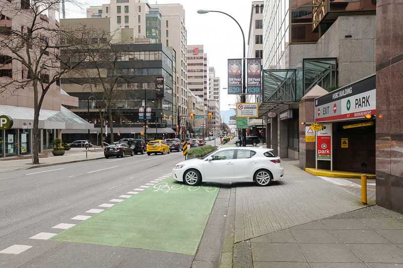
Car parking entrance - requires checking over shoulder for cyclists on the way in and not blocking the lane on the way out - both done admirably - I’ve never had an issue.
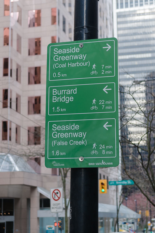
Wayfinding
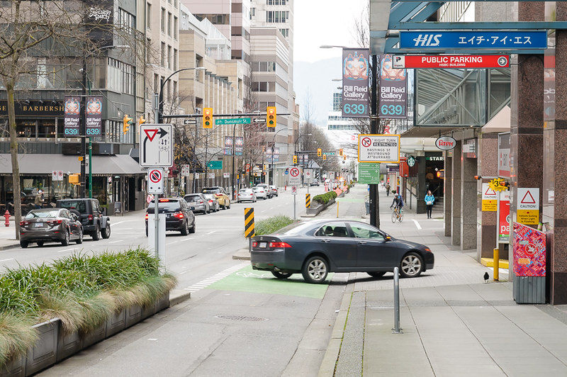
And finally we hit Dunsmuir - it’s one-way right to left with separated bidirectional bike lanes (like we’ve just been on). Only bikes can turn right, but this is done on the pedestrian phase (across Dunsmuir) which results in a bit of confusion and a few cut off pedestrians. We take a right here onto Dunsmuir.
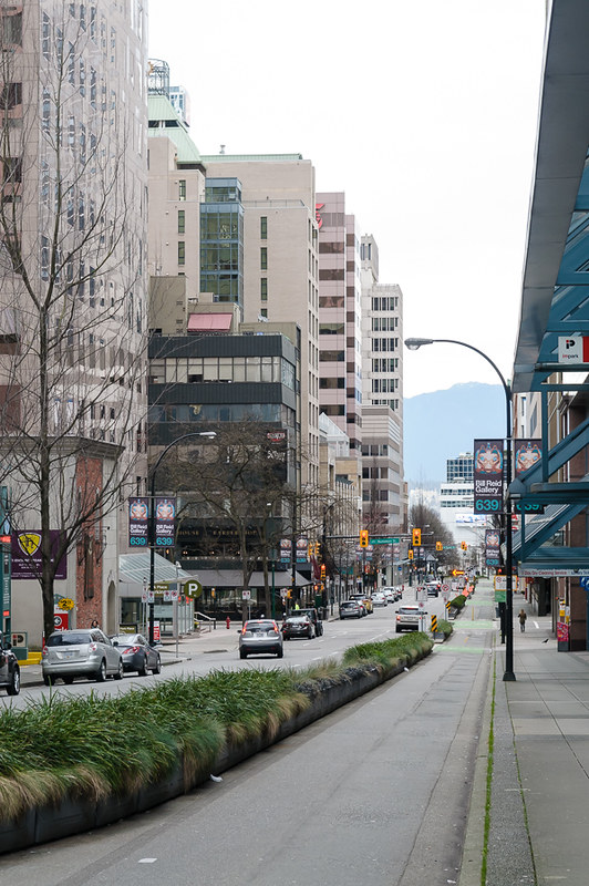
Looking South East on Dunsmuir
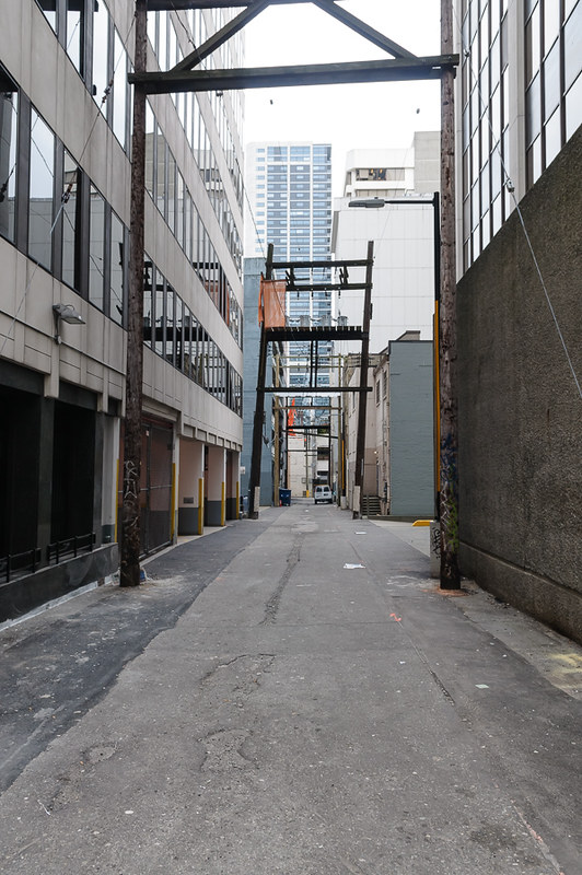
Finally I turn down the alleyway and enter the building’s underground garage - there are hanging racks as well as a key-access cage, which is currently being expanded as it was packed all winter.
So all in all, very pleasant, reasonably safe and a little long-winded.
Plan D or What I really do every day
So how do I actually get to work?
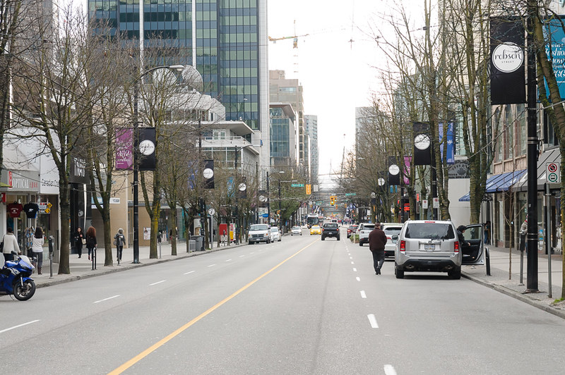
I take the shortest route and look out for doors and bonnets - down Robson and chance my arm getting onto the bike lane.
Getting back
The good news is that home is more direct and follows the initial path I wanted to take (in reverse).
We start here, at my building’s laneway entrance and turn right towards Hornby again:
More wayfinding
And back at the intersection, with Hornby running across (we arrived from the left)
A new hope?
You’ll notice straight ahead that there is a cycle lane - it follows my A-B route laid out right at the start. Let’s see where it goes.
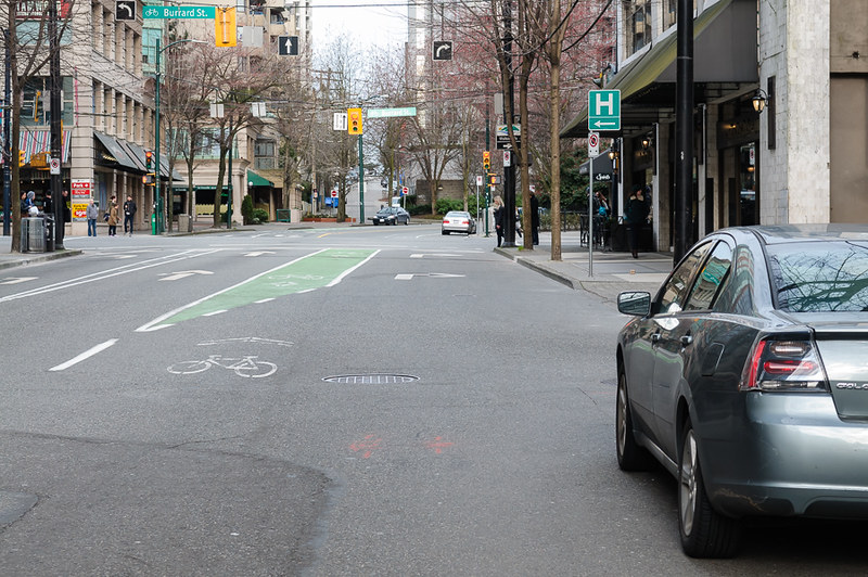
We arrive at Burrard Street - behind the gold car the cycle lane continues.
We can also (in theory) turn left onto the Burrard Street (painted) cycle lane, but there is no way to use the cycling lane to turn left - you’d need to get into the left turn lane and turn with traffic or pull up ahead of cars to the right and wait (there is no bike box).
So we go straight. Not pictured are the cars parked here for short periods picking up people - lots of doors, lots of pulling in and out at busy times of the day, along with some brutal, unavoidable manhole covers
Looking back at the intersection we see the real problem. Cars in the lane to your left can either go straight or right. You can either go straight or right. If you are going straight and a car is going right (usually blocking the cycle lane waiting for pedestrians to finish crossing)… well… you can either squeeze around the front of it or swing out into the lane and take your chances.
Finally we see the next intersection and the continuation of the bike lane. Not much more to add to this photo besides that it’s about five blocks of car doors waiting to hit you before you get another chance at a cycle way (quiet street). That’s five blocks passed where I need to be.
Actually getting home
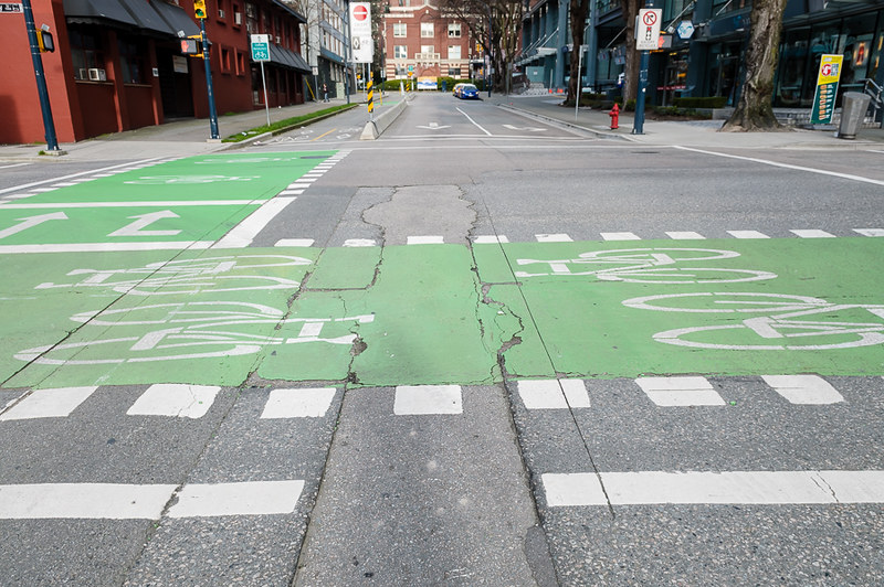
So let’s rewind back to Dunsmuir/Hornby and stick to the orignal plan (B-A now):
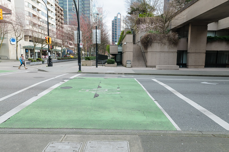
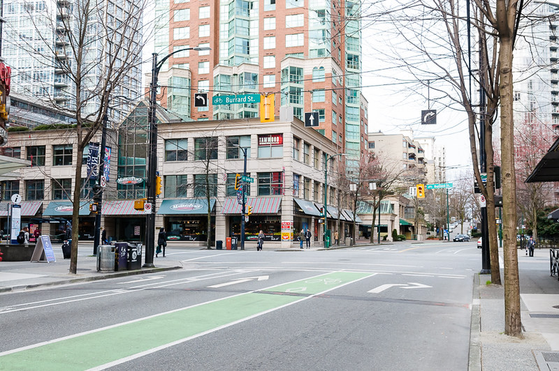
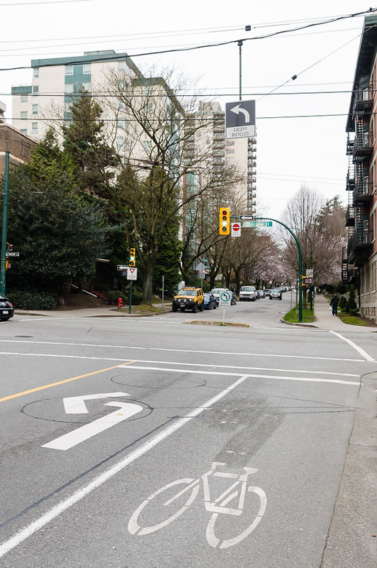
We fight out way through the pedestrian crossing and merge with straight cycle traffic, climb the long gentle incline to West Georgia , passed Robson and we’ve gotten all the way back to Smithe Street. To turn right from Hornby onto Smithe we use the aforementioned bike box - again we need to get through the pedestrian phase without hurting/scaring anyone or being in the way of other cyclists. The bike box is not in great condition, which can make low speed maneuvering tricky:
We line up with the Sharrow and this is what we see:
Once you’ve done it a few times you learn to start before the light goes green - this means a good head start before traffic starts moving. We’re aiming for the green section inbetween two lanes. There is no safe way to turn left onto the Burrard Cycle lane.
When we cross the intersection we’re aiming for the bike lane again. You can see the end of the lane on the other side that caught us out before.
(looking backwards) Due to the curve, you’re not very visible to people parked along here:
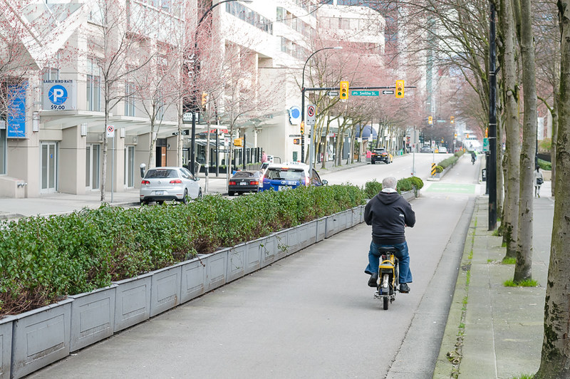
The home stretch (it’s full of parked cars on weekdays - oil spots visible)
(Looking backwards) A nice fat bike lane
The final intersection. Cars can only go left while cyclists can go straight. According to the signs anyway. The curb design opposite (designed to keep cars out) just creates a pinch point, so when cars do go straight, I end up heading straight for the lightpost.
I pull up, lug the bike up a couple of stairs and we’re home, usually alive.
Addendum
I raised all these issues (bike lanes missing, poor intersection designs) with the Vancouver City Council’s ‘contact us’ web form. I didn’t expect much back, but 3 days later I had a phone call from both the city planners (about the intersection) and the guys responsible for the cycle lanes. Both lived nearby and knew about all the issues. Both sighed a lot. The city knows what to do, but there is no budget and no political capital to fix things. There is still some work planned, but not for years, and not addressing most of the issues. These people clearly care though, so there is hope. Nothing has changed while I’ve been here and I’ll be gone long before anything does, it seems.