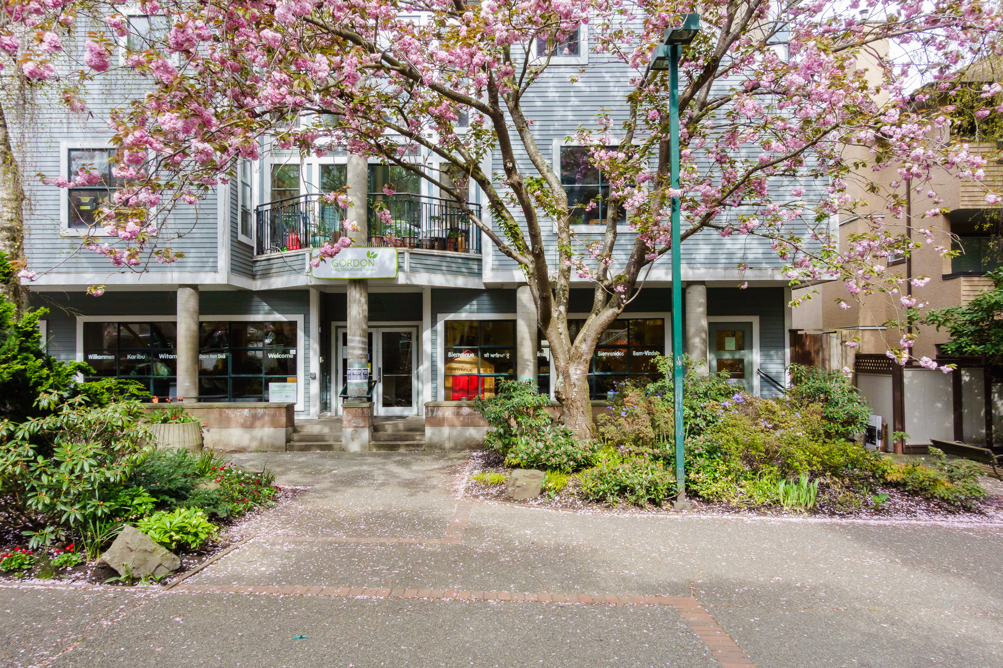
West End
The West End is great. I’m always relieved to return.
Northeast across West Georgia is Coal Harbour, East across Burrard is the Business District, South Across Burrard is Yaletown. To the North is Stanley Park with English Bay to the East.
I see it as having eight ‘regions’:
- North East of Robson - Includes the high-end Alberni shopping precinct at the South end and not much else
- Robson Street - the main retail street down town - clothing, cosmetics, Tesla, supermarkets, dining etc.
- Denman Street - the west end of it intersects with the beach at English Bay, so ice cream, food, food, food. All the food, from end to end
- Davie Street - The fabulous part of town - a ‘daily’ street - groceries, food, misc shopping
- The ‘middle bit’ - everything inside Robson, Denman and Davie. This is where most people live - lots of apartment towers of varying ages and qulity, quiet tree-lined streets and the occasional villa
- The ‘steep bit’ - between Davie and Beach\Pacific Boulevard at the south west - generally nicer places with ocean views
- The ‘best bit’ - between Denman and Stanley Park - flat, close to beaches, the park, buses. Nicer apartments with views.
- The Seawall - Sunset Beach and English Bay
So why is it great? I’ll cover four things that contribute:
- Density and Variety
- Pedestrian Right of way
- Traffic Calming
- Cycling Infrastructure
Density and Variety
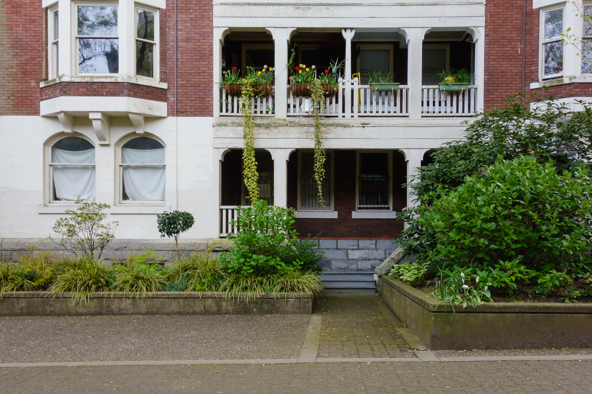
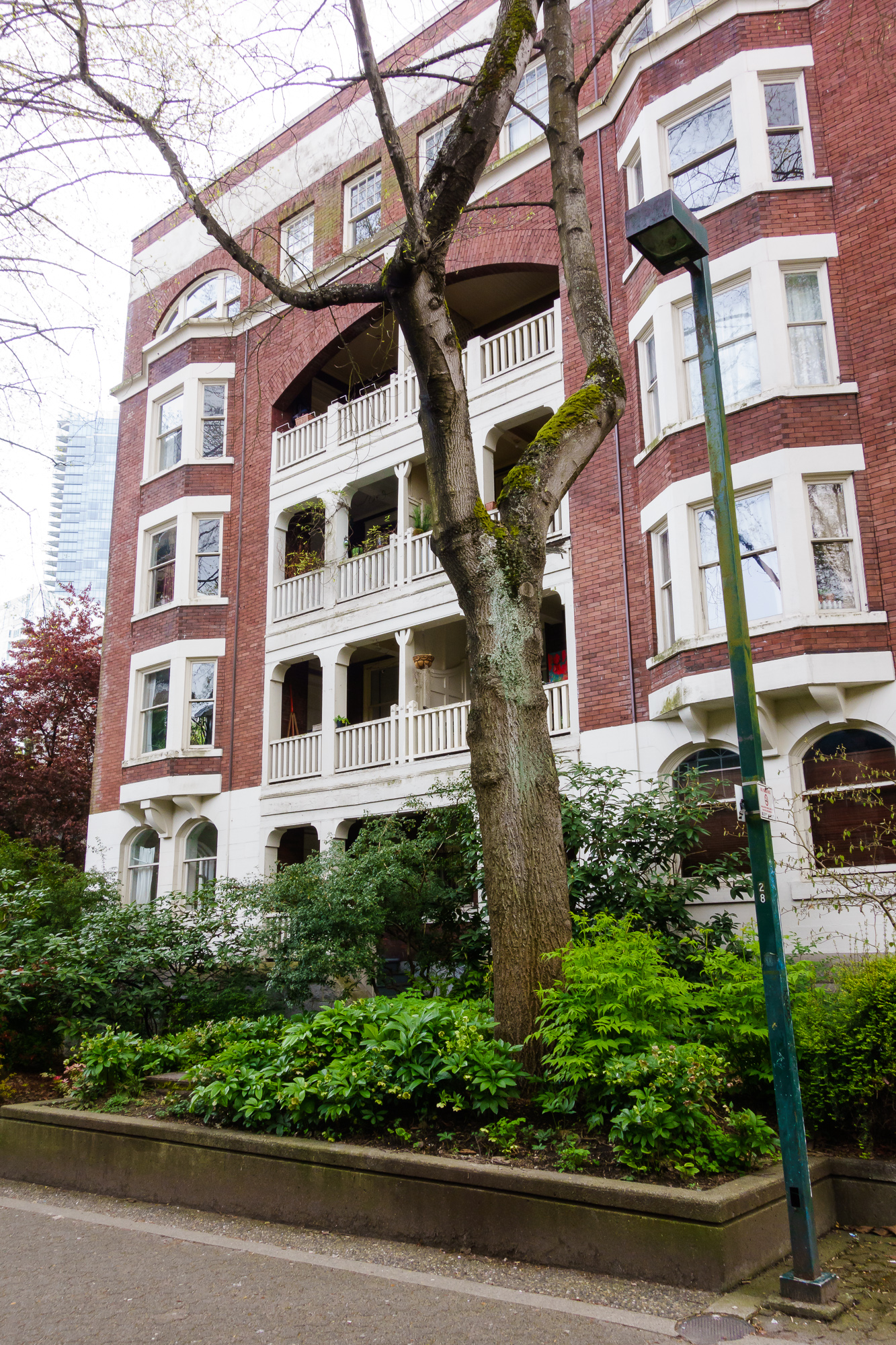
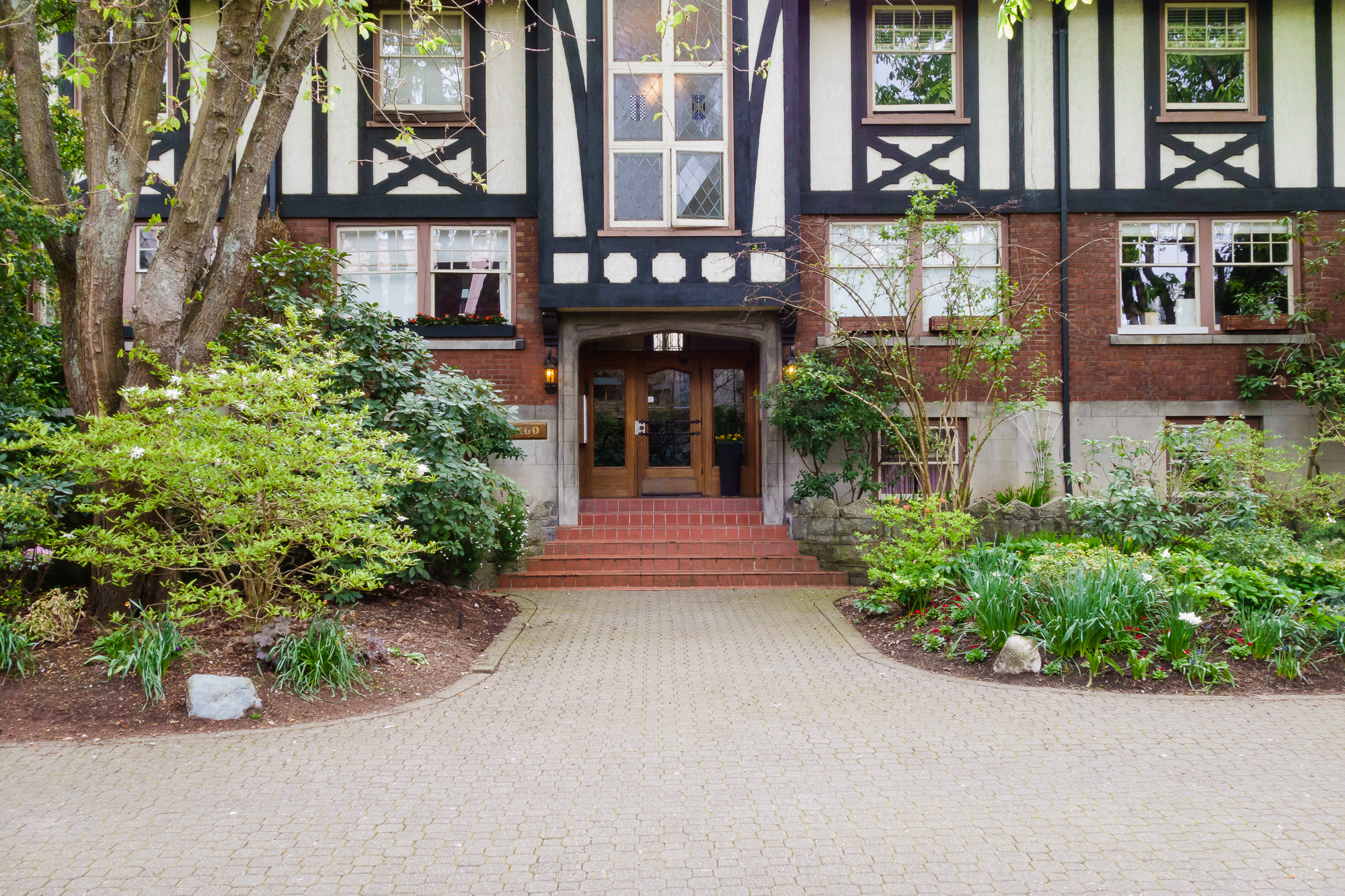
There are a wide range of housing types - standalone houses\villas, conversions, terraced houses, low-rise apartments and high rise apartments. The vast majority live in the latter, with a population density of ~22,000 people per square kilometer and a total size of only 2 square kilometers (for a total of ~45,000 people). There are more children living here than the traditionally family oriented suburbs in Vancouver and there are two primary schools and one high school.
Aesthetic quality of apartments vary, but many buildings are 50+ years old, and in many cases have removed ‘dated’ brickword and balcanies and replaced with clean lines and glass. I love the brutalism, the 60s brickwork, the weird and wonderful. Some are timeless, some are …not.
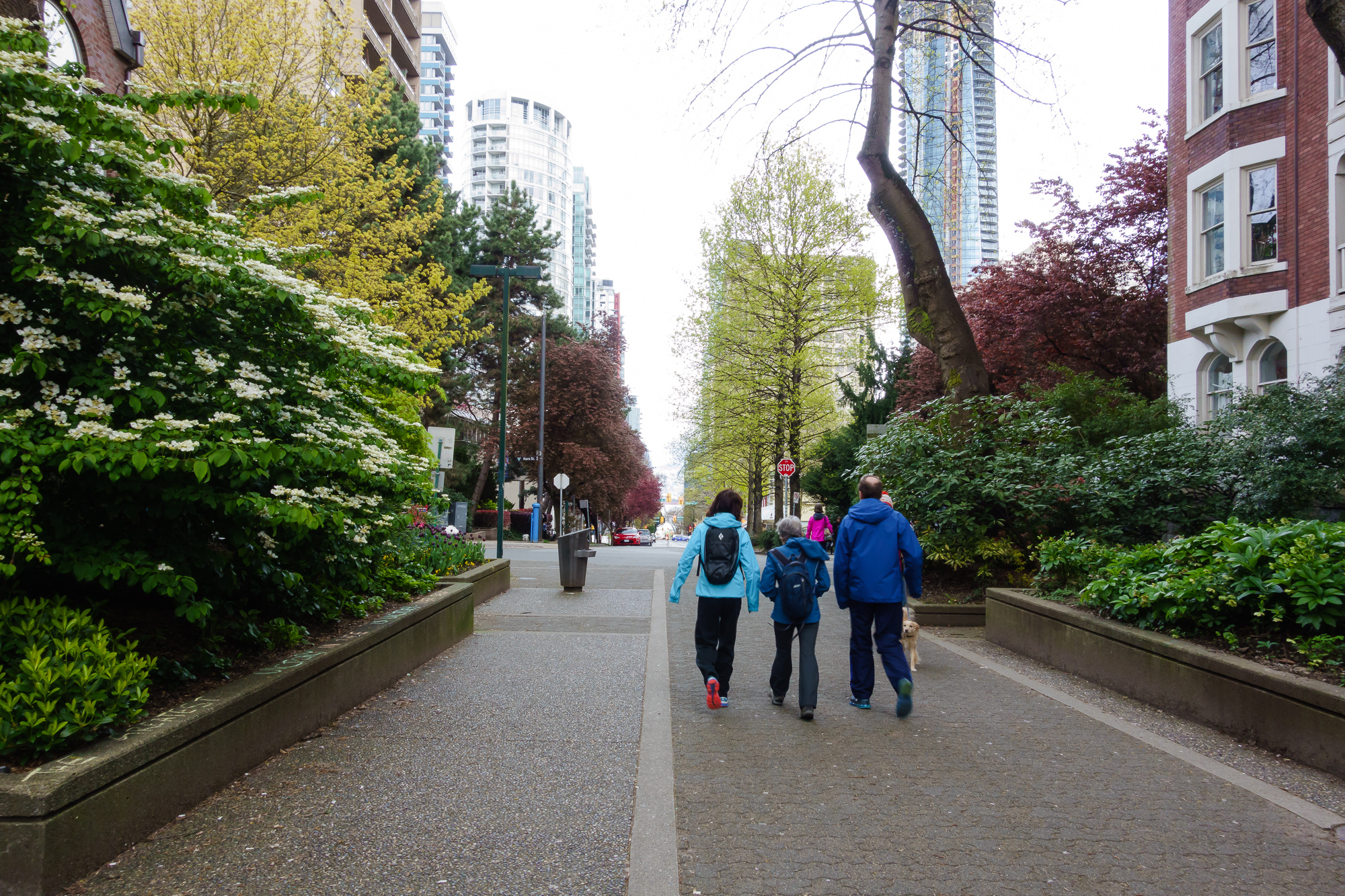
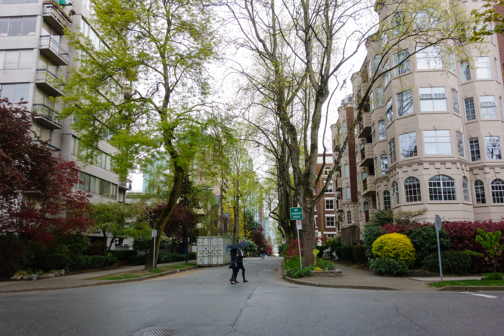
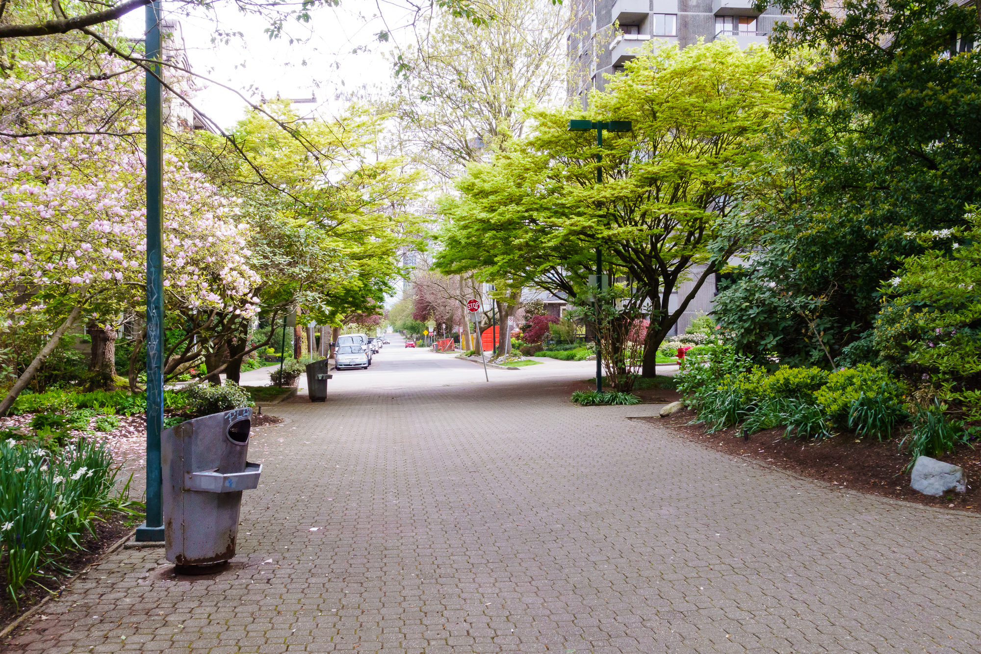
This density of people is not apparent at street level - it’s tree lined and quiet, but it enables a wide variety of activity, employment and eateries within walking and cycling distance - most people do not own cars. My building’s car park is half empty but the bike room is full.
Pedestrian Right of way
There are two critical factors that make it great to be a pedestrian (beyond the traffic calming measures discussed shortly):
- Pedestrians have right of way, by law
- Sheer numbers
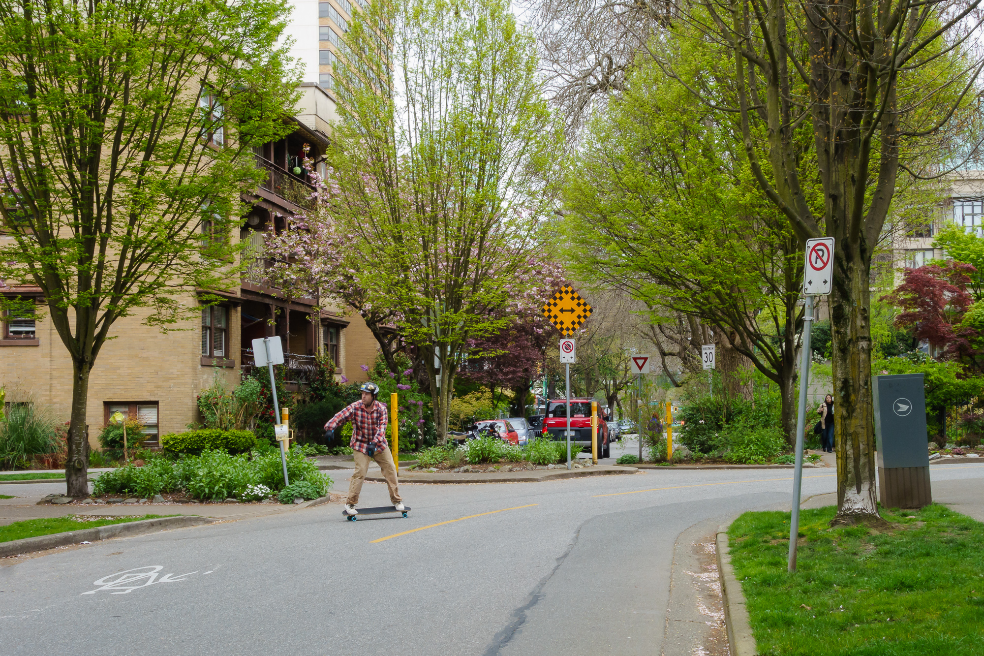
The first point is a game-changer. I have the right to stare down cars as I step out on front of them and know that they have to stop. And they do. Especially in the West End where the vast, vast majority of people either do not own a car or very rarely drive - it’s expected that there are people everywhere and cars drive accordingly (for the most part). Magically, every street is a shared street, without spending millions on redesigning the road to make it look less like a road.
The usual types of people (in certain types of cars) often attempt to rat run through the quiet streets and they stand out because they are aggressive and dangerous. It’s, unfortunately, even more dangerous, considering the expectations all users have of the area. These ‘worst’ motorists are your everyday New Zealand drivers and are comprised of people who do not live in the West End - people who view the area as an obstacle to getting where they want to be as quickly as possible.
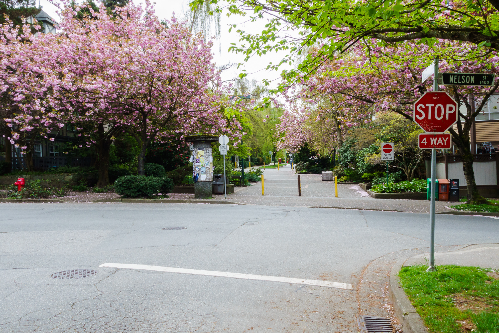
Traffic Calming
As best I can see, everything great about the ‘middle’ and ‘good’ bits comes back to traffic calming measures. Cars are not banned from any streets, but they are dissuaded from using quiet residential streets unless they actually have need to. As a result, these inner streets are quiet and civil. These measures also create calm, communal places, as I will document.
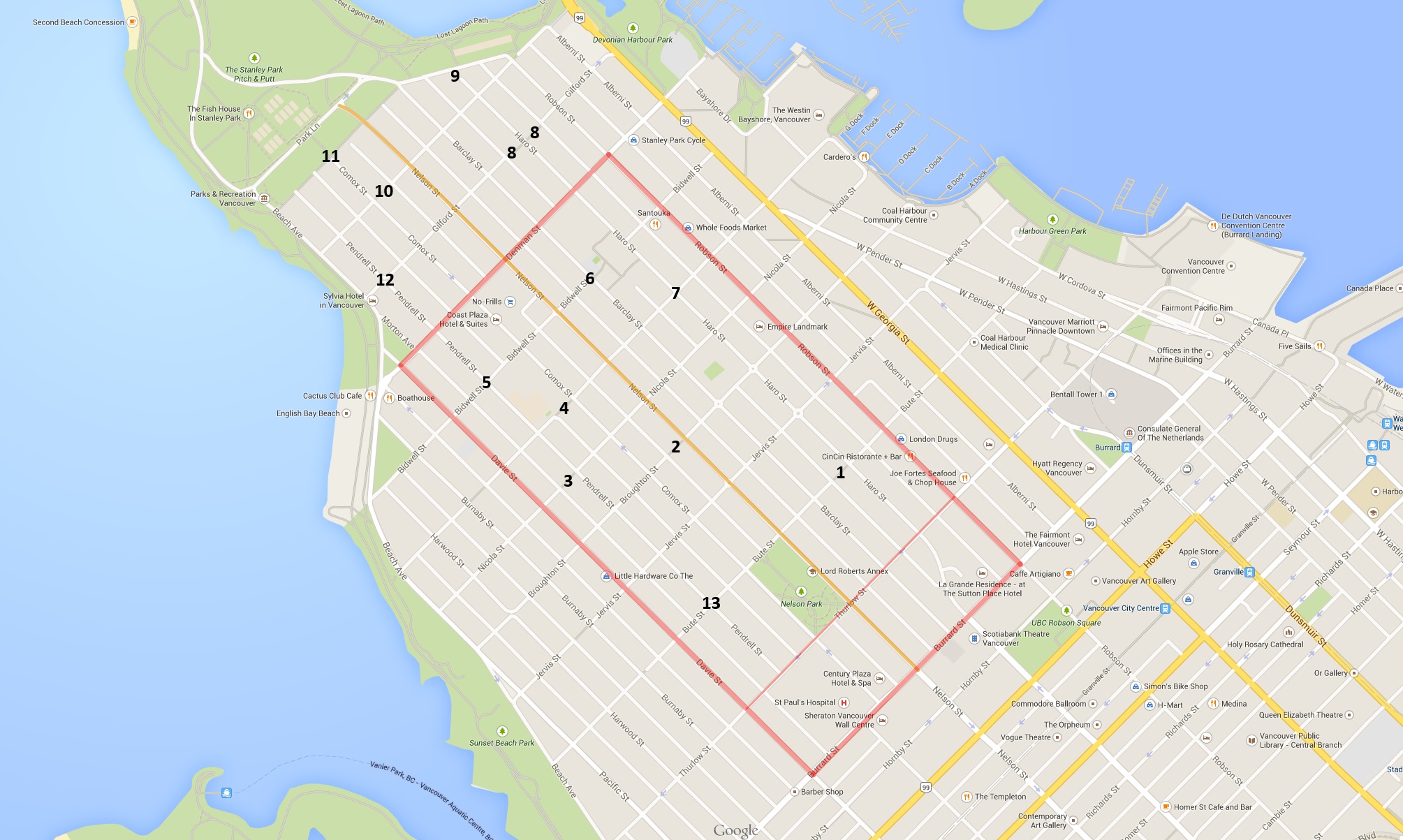
Below is a map, it shows main\busy roads in red (Robson, Denman, Davie, Thurlow and Burrard) and ‘through’ roads in orange (just Nelson) , with traffic several calming measures numbered for discussion below. It’s not a complete listing, but these physical layouts, combined with strategic one-wayedness, results in no direct routes through the West End outside of the red and orange lines.
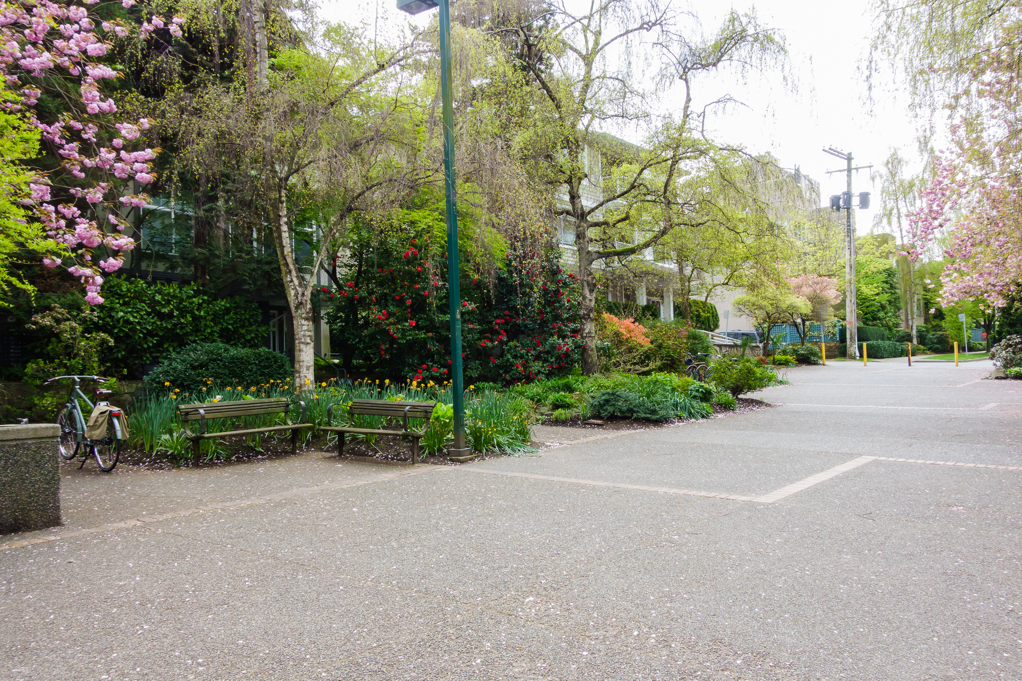
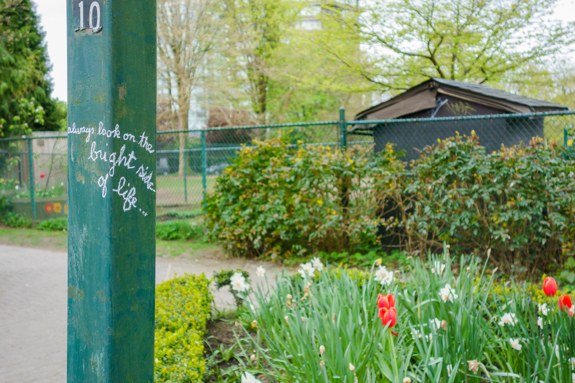
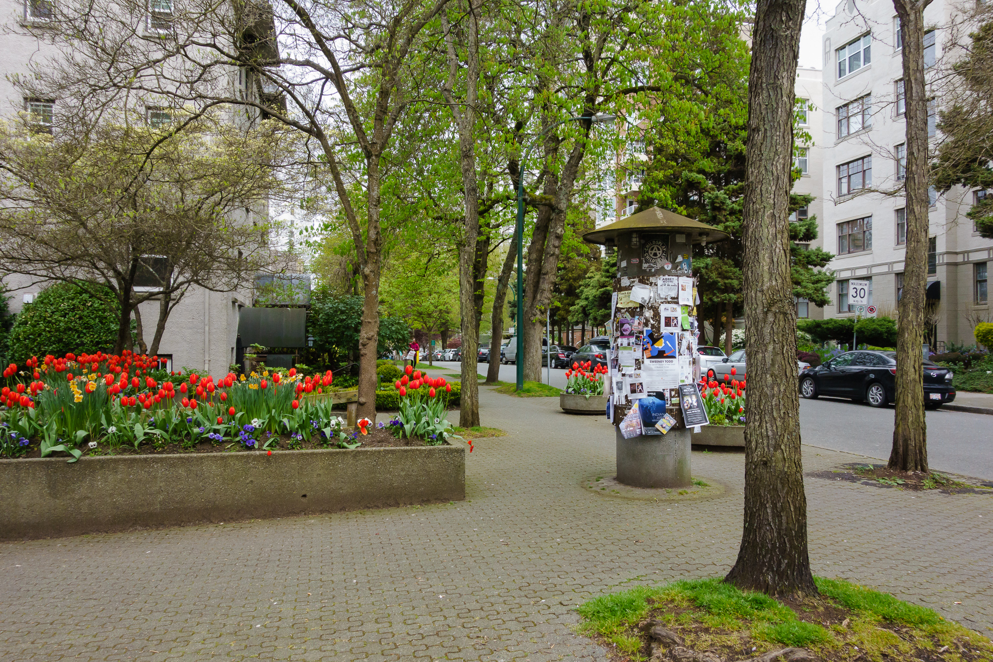
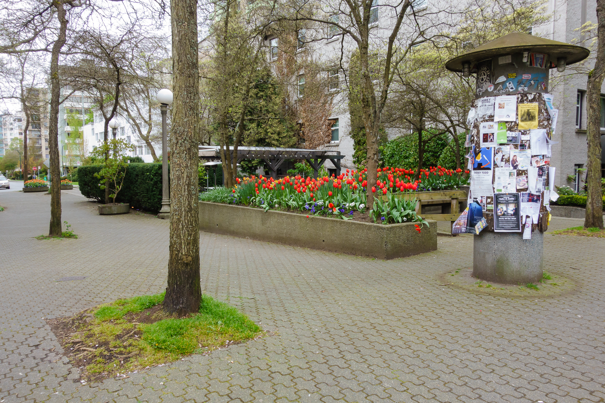
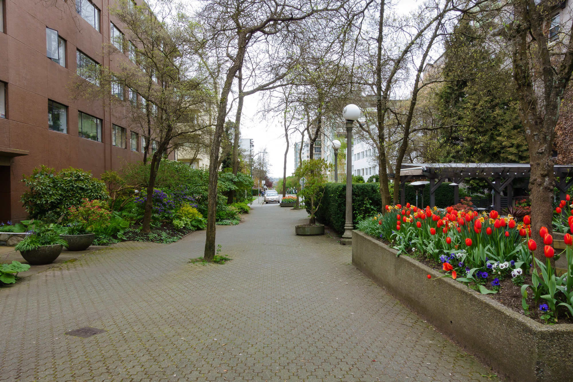
1. Haro\Bute {#1harobute}
This block of pedestrian space interrupts Bute - here we are only one block from the busy Robson Street, but as it’s impossible to drive through, the road leading to/from here is musch quieter than would otherwise be expected.
As in all the cases I’ll show here, there are planters, a community noticeboard, trash bins, seating and lighting.
Looking North
Looking South
Residential access and presence

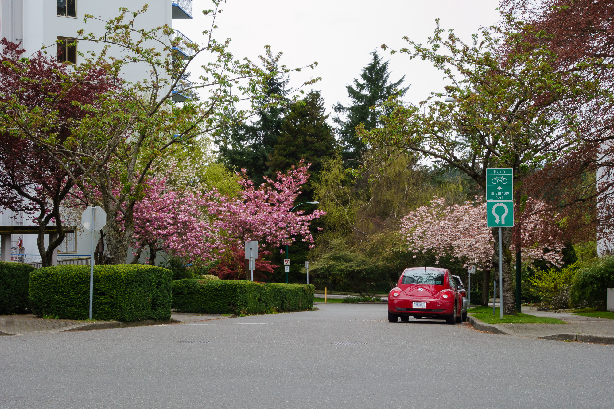
From the south end, signs communicate the futility of entering.
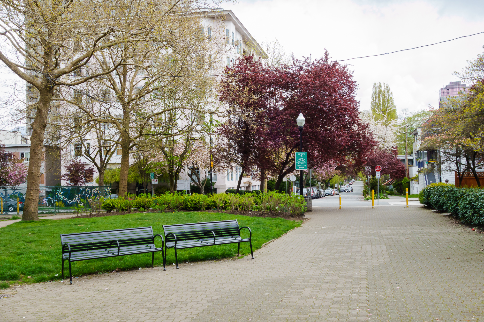
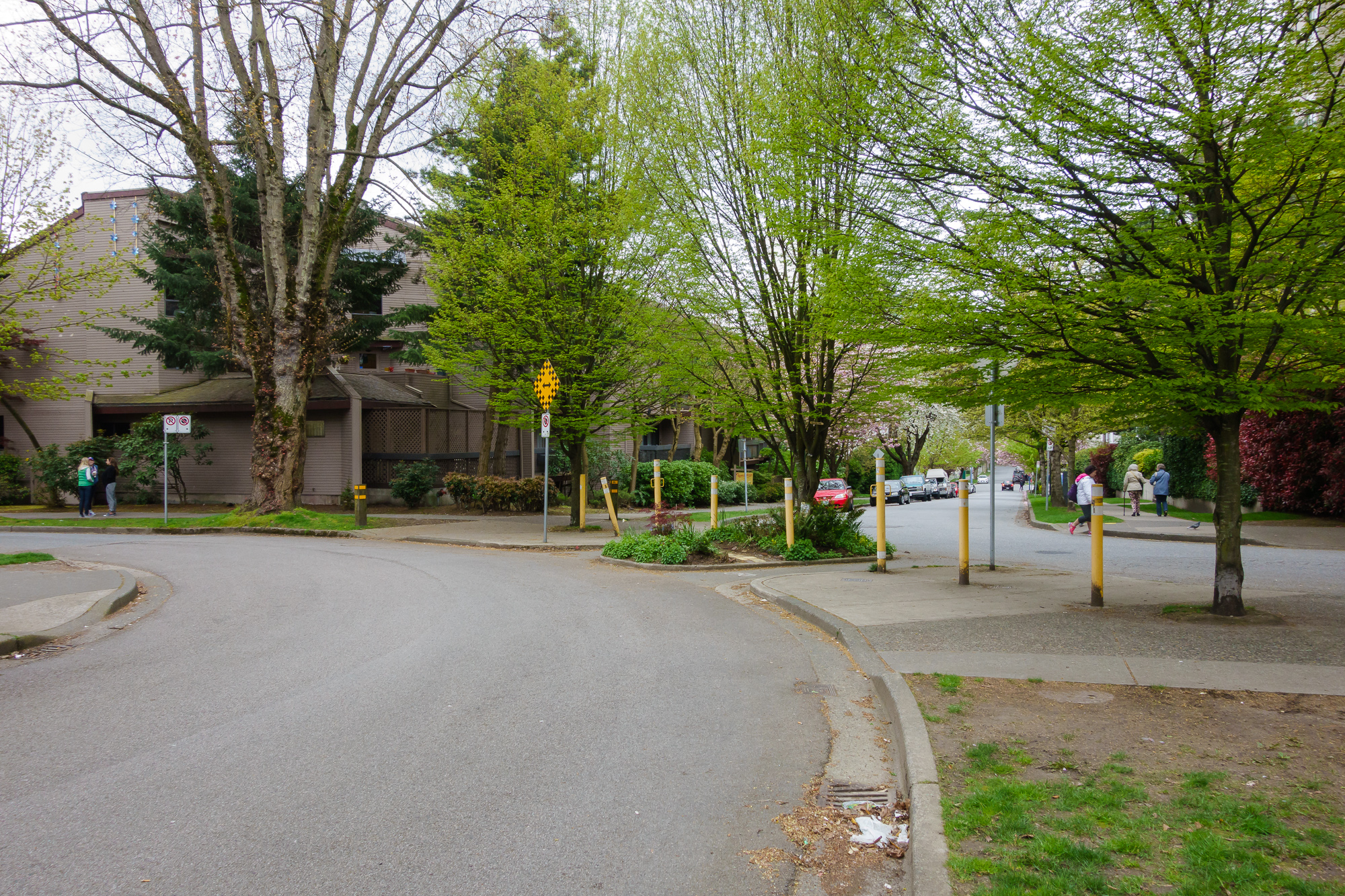
2. Nelson\Broughton {#2nelsonbroughton}
A few block away we have a similar arrangement - a block closed off to cars, and humanised.
Community noticeboard, beautiful flowers and newspaper boxes. Still considered a 4 way stop in consideration of people on bikes.
Seating, lighting, plants. Amongst them is an apartment entrance.
Looking South

Looking North

Residential and commercial interaction
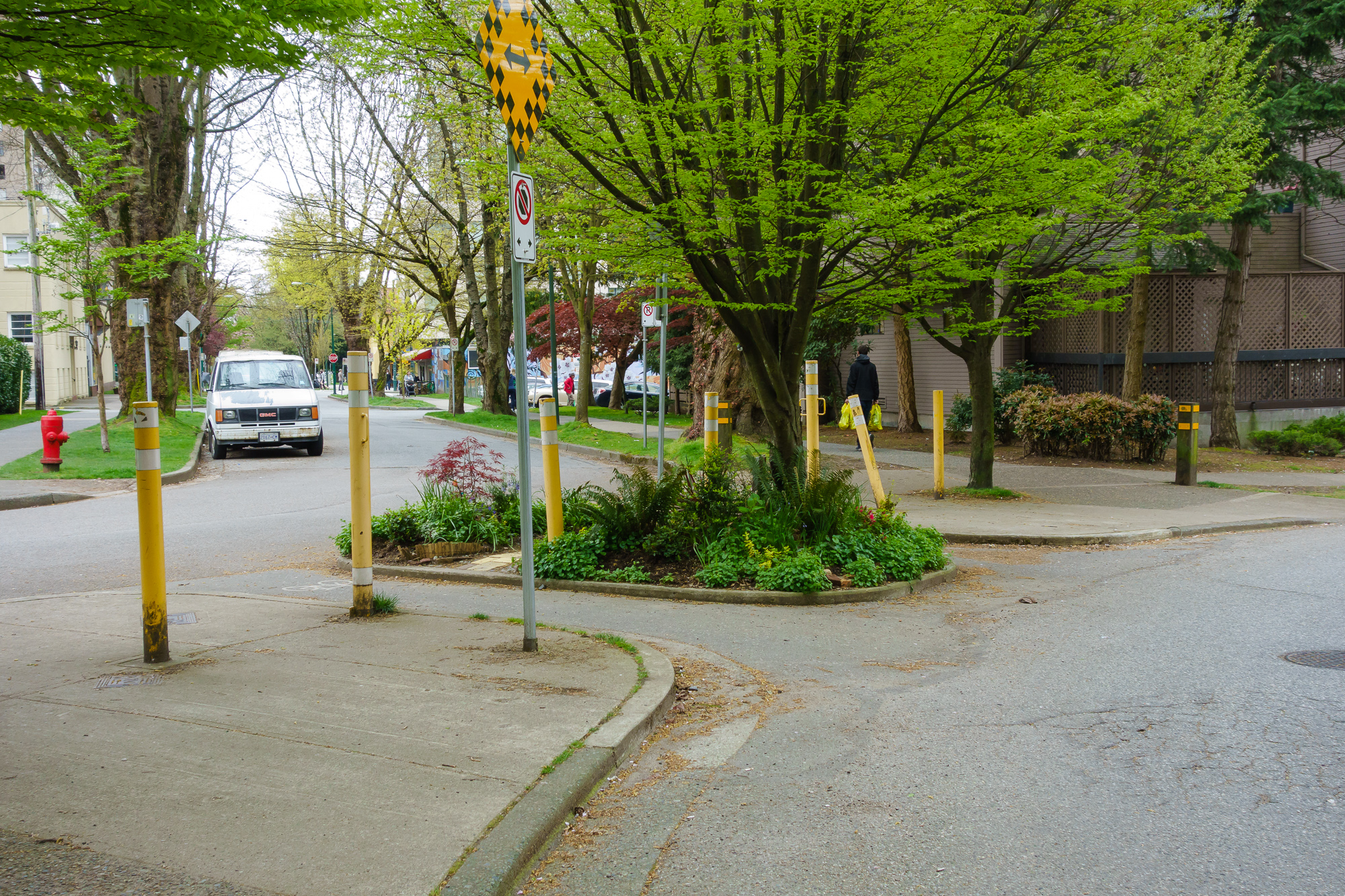
3. Pendrell\Nicola {#3pendrellnicola}
Same story here.
Looking South from the street

Looking North
Residential access
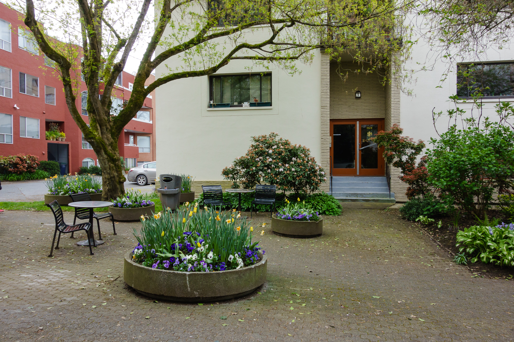
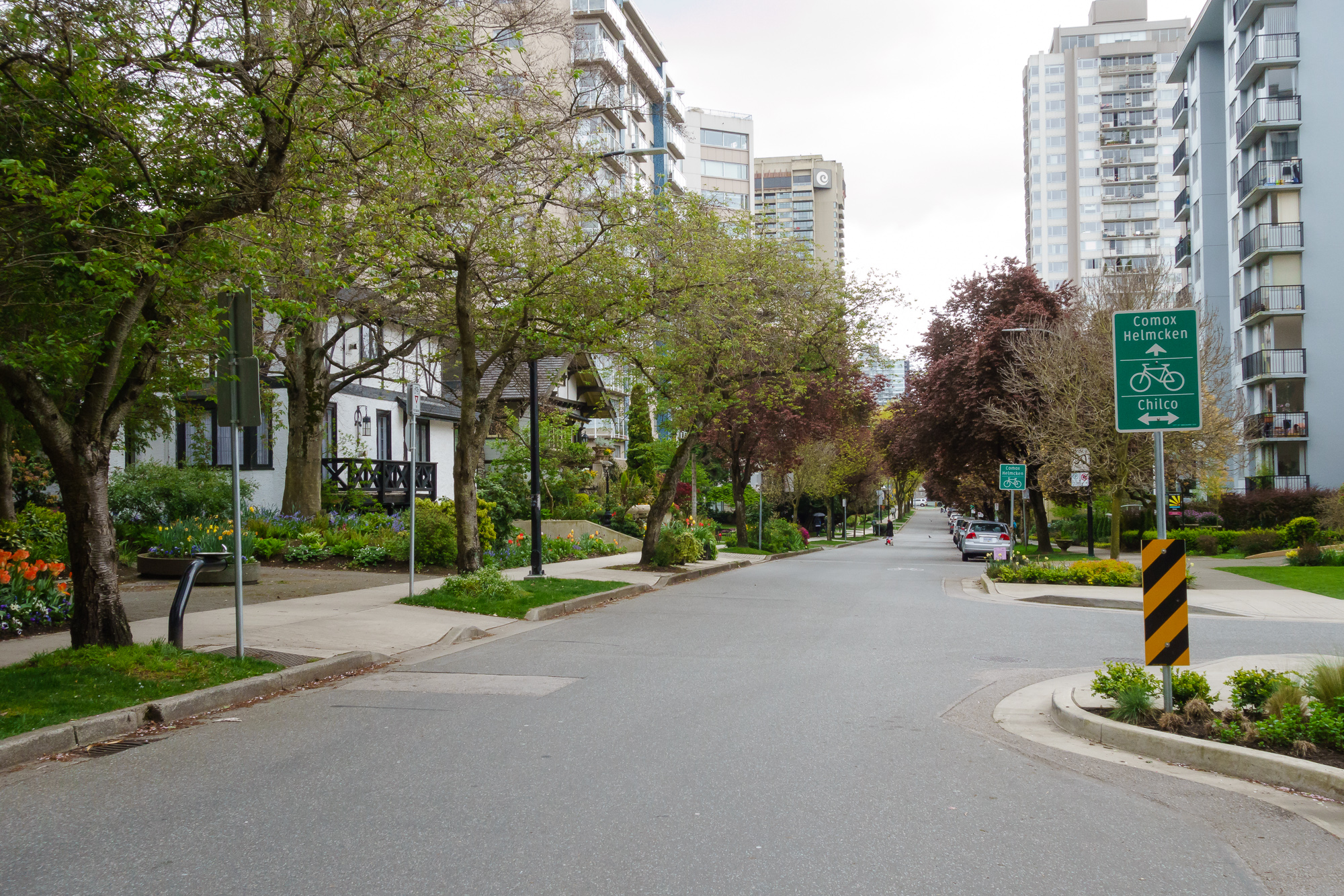
4. Comox\Cardero {#4comoxcardero}
Here we have a similar story, with a different scale.
To the left is the Primary School
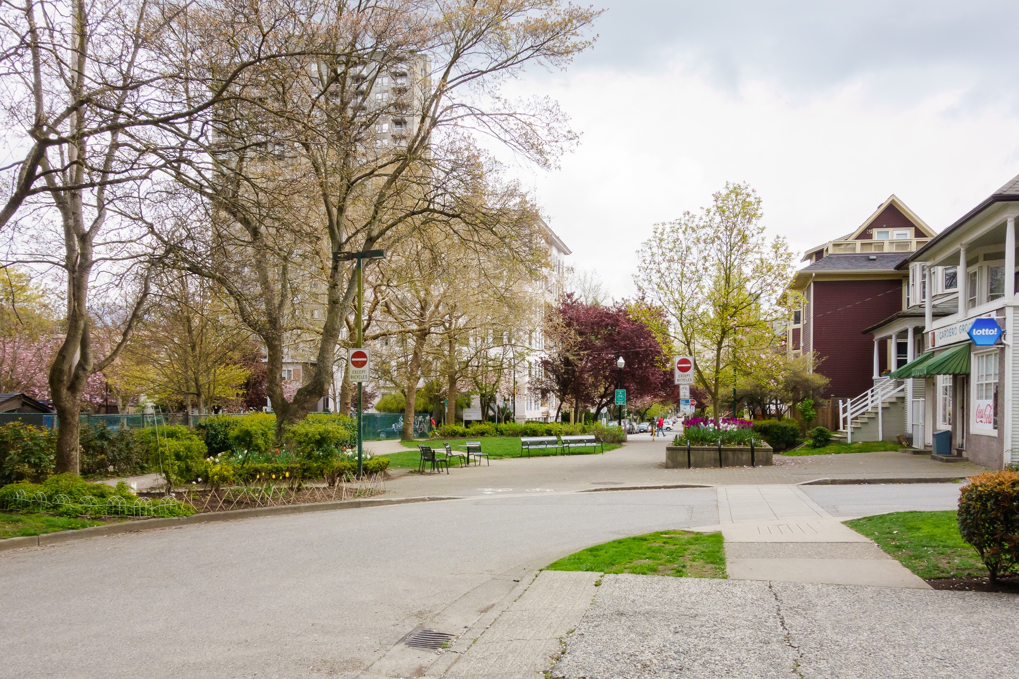
A corner store

Seating, looking North towards Comox cycle street
Looking South at the street
The School and seating
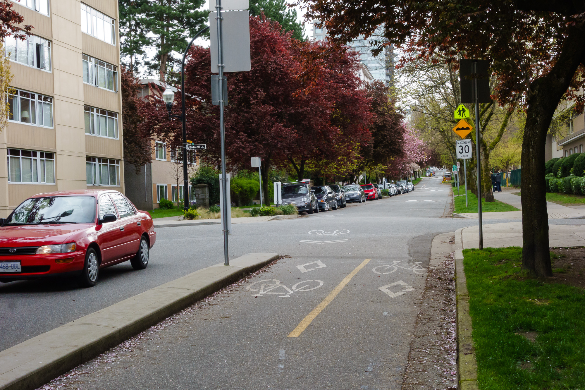
5. Pendrell\Bidwell {#5pendrellbidwell}
Something a bit different - instead of changing a block, what would be a 4 way intersection is limited to right angle turns only, directing cars back to the main street while allowing pedestrians and cyclists through. They also provide some colour.
6. Barclay\Bidwell {#6barclaybidwell}
The High School at the end of the street creates an obstacle to cars, but allows pedestrians through.

(This is mostly here because I wanted a picture of my favourite house in here somehow.)
7. Haro\Cardero {#7harocardero}
Again, a 4 way intersection is limited to two right angle turns.
Directly ahead here is Robson Street, but this intersection manages to be very quiet.
Flowers everywhere. I think there is too much on street parking allowed, but it’s not the end of the world.
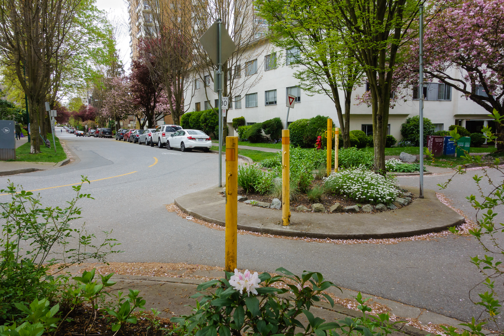
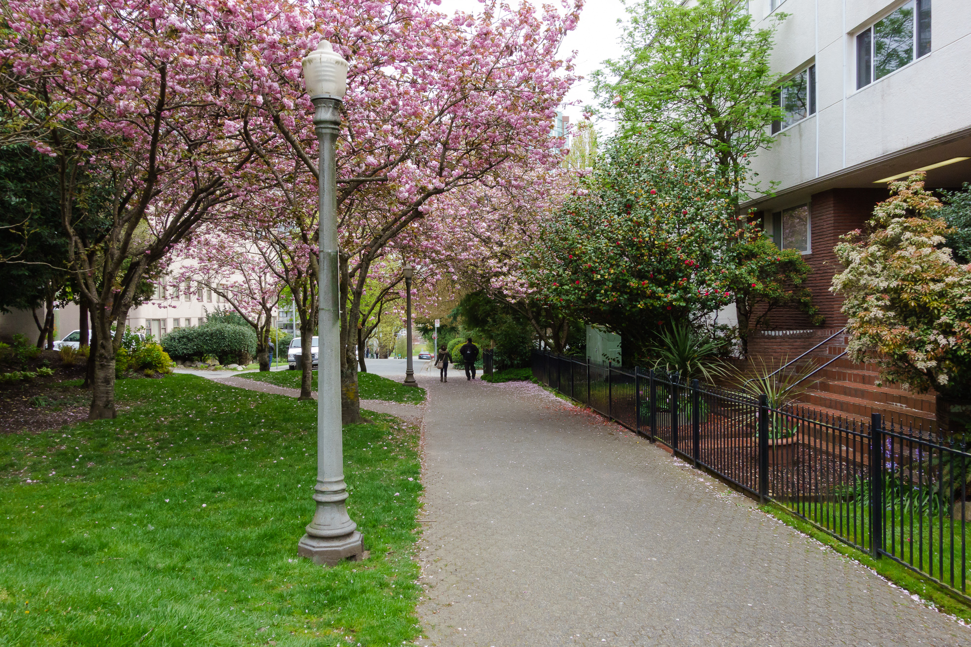
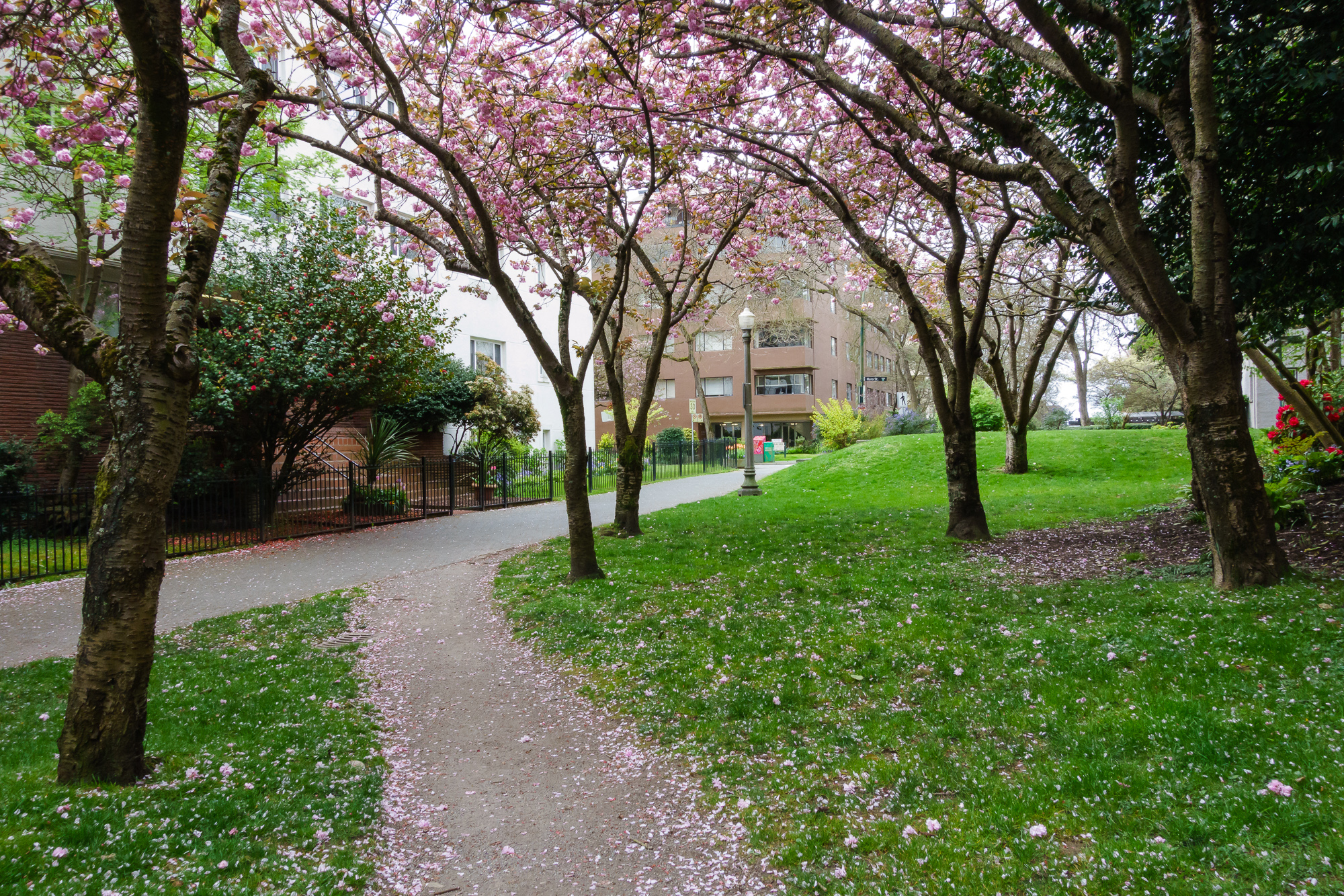
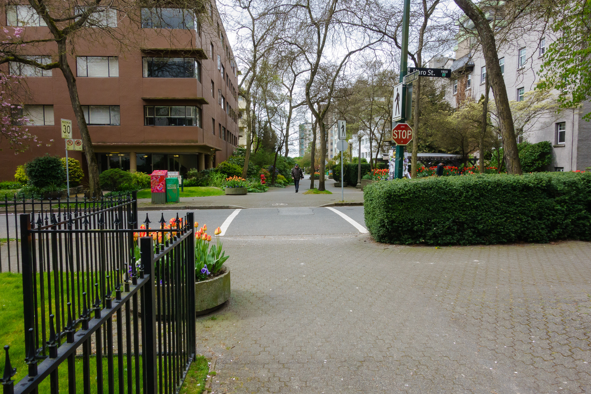
8. Haro\Gildford {#8harogildford}
On the other side of Denman we have two blocks next to each other set as car free.
On the North Side. I’m not a fan of the gate - I’ve seen a couple around and they seem very unnecessary.
And the South
 \
\
I stopped to allow a man walking along here to pass without being in my photos, but he informed me that he was only here to ‘catch up on the news’.
On the left are apartment entrances, on the right a cafe.
9. Haro\Lagoon Drive {#9harolagoondrive}
At the very end of Haro, cars are prevented from connecting through to Lagoon Drive. On a busy day, a lot of cars would be coming up through here and onto quiet back streets. This disconnect ensures cars end up on Robson instead. Pedestrians and cyclists are unimpeded going to and coming from the park.
10. Comox\Chilco {#10comoxchilco}
Block closed off to traffic
A lane-way runs across the face, with parking up to the edge.

Apartment entrances, quiet sitting space.
Gardens


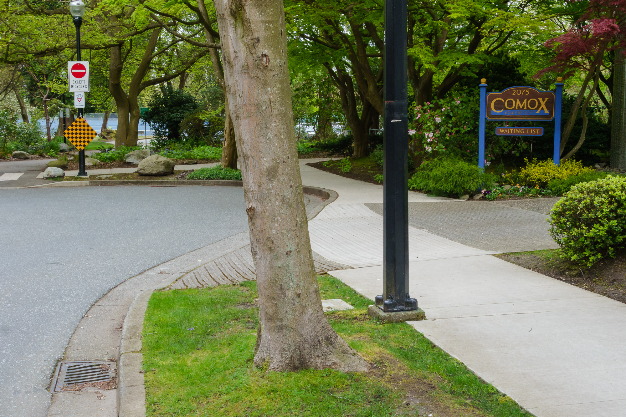
11. Comox\Stanley Park {#11comoxstanleypark}
At the end of Comox street is a dead end, for cars. Through the trees are tennis courts, a car park, a nine hold golf course and the entirety of Stanley Park.
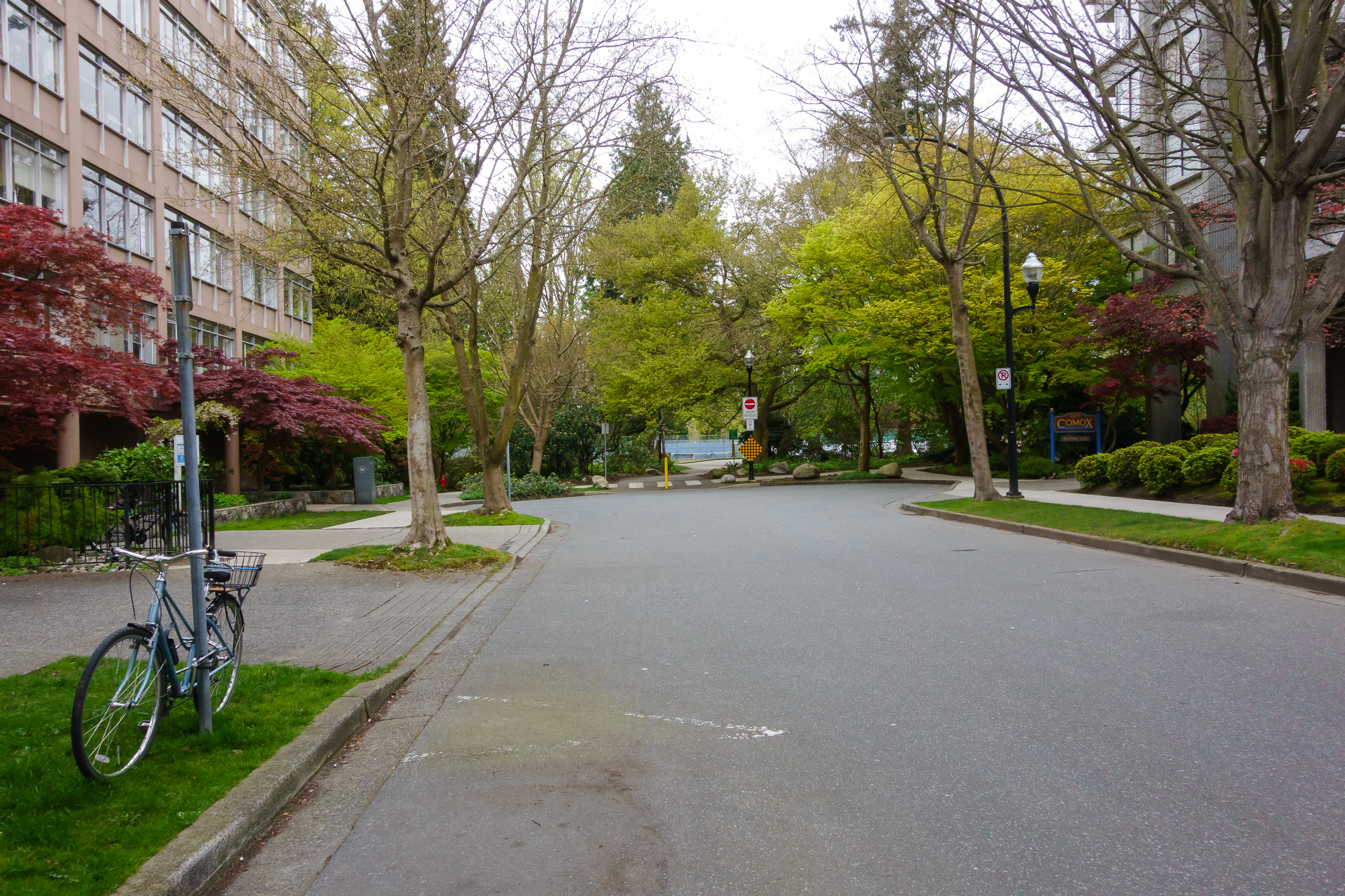
Properties tend to maintain nice frontages.
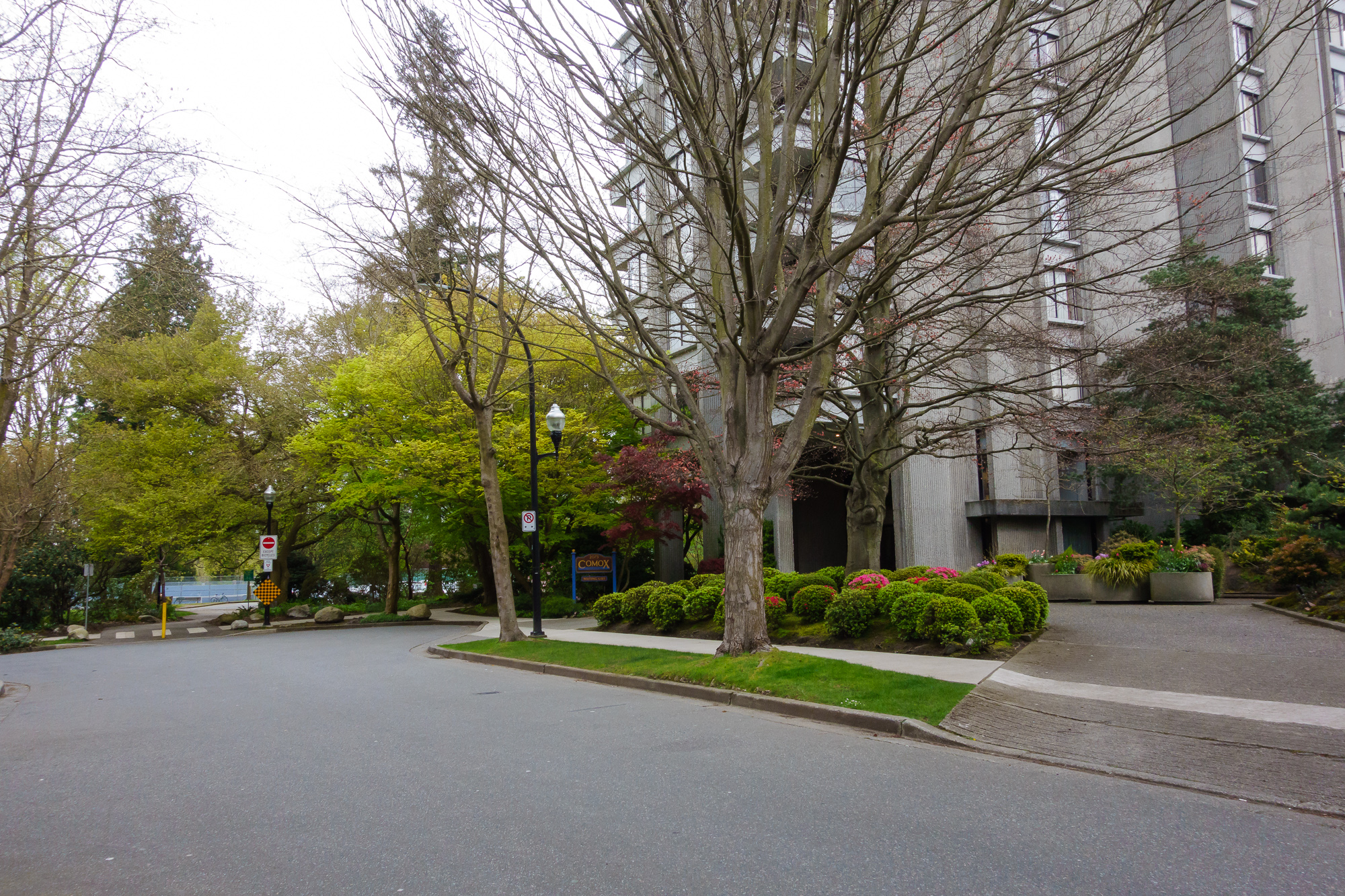
High demand.
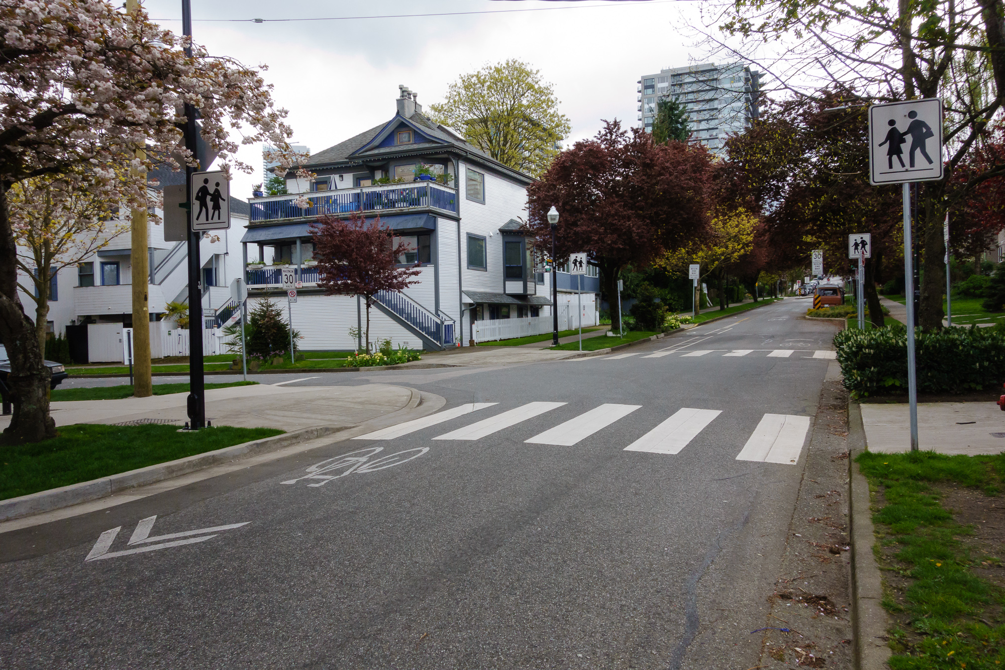
12. Pendrell\Gildford {#12pendrellgildford}
Another simple 4 way intersection blocker. Straight ahead is English Bay and the seawall. This road layout ensures cars do not cut in rather than going through the large, busy intersection at Denman
13. Pendrell\Bute {#13pendrellbute}
Our last example - this intersection prevents driving between the busy Nelson and Davie streets
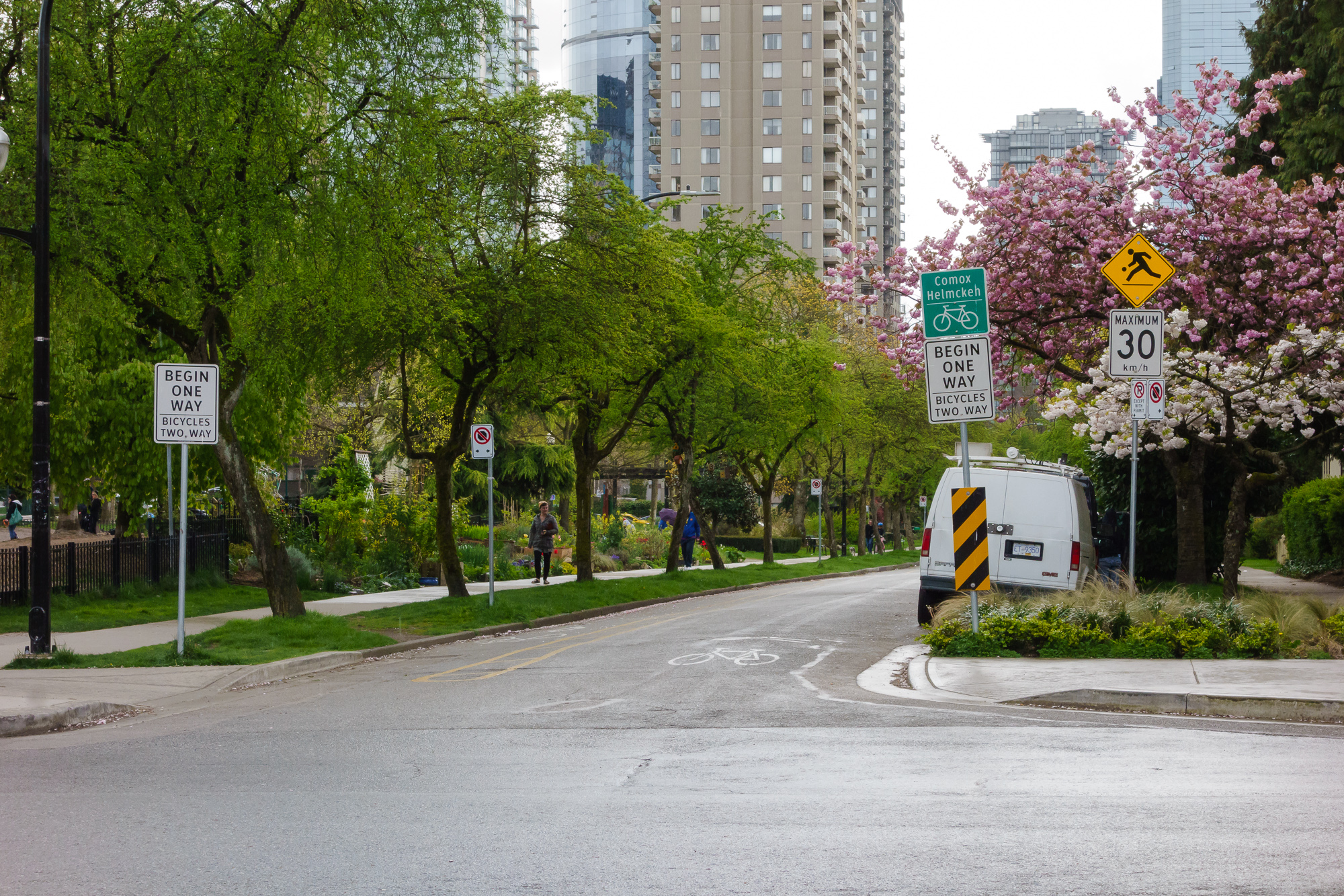
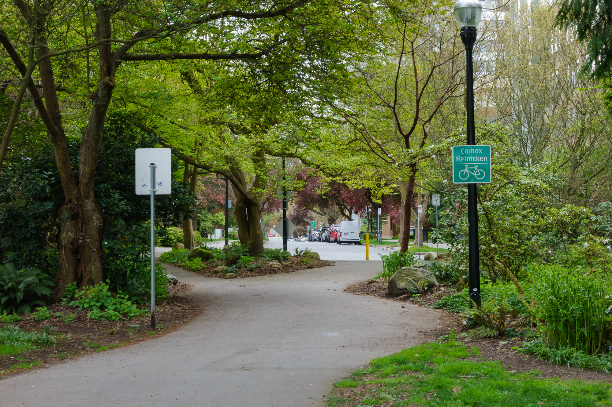
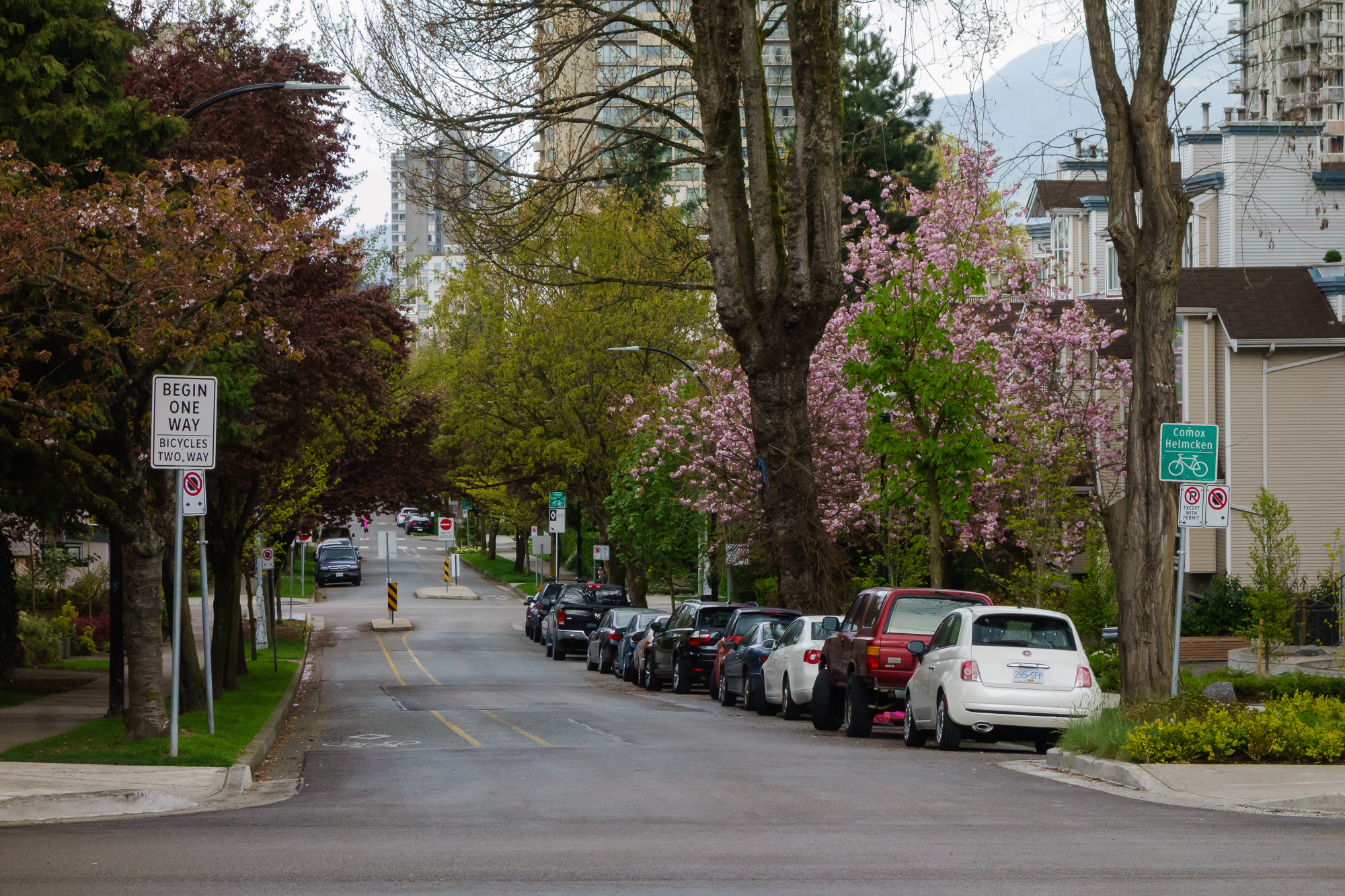
Cycling Infrastructure
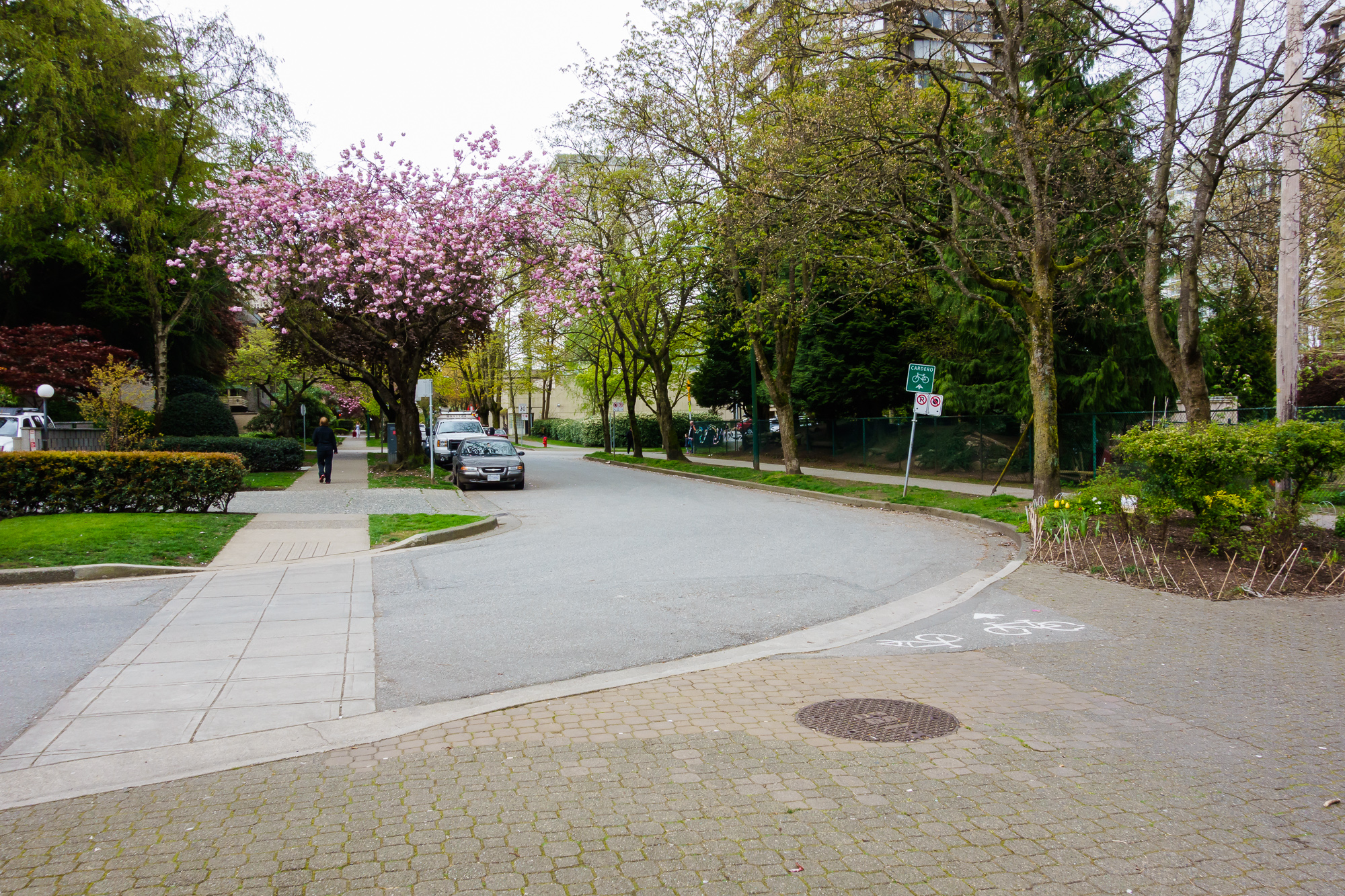
The real cycling infrastructure here comes from the(by design) quiet nature of these streets. Beyond that, it’s mostly ‘sharrows’ and shared spaces. There is one ‘real’ cycleway - Comox Street, from Stanley Park to Burrard Street.
We start at the tennis courts in Stanley Park, looking South East
Nothing but speed signage here, but there is nowhere to drive to/from, so traffic is non-existent.

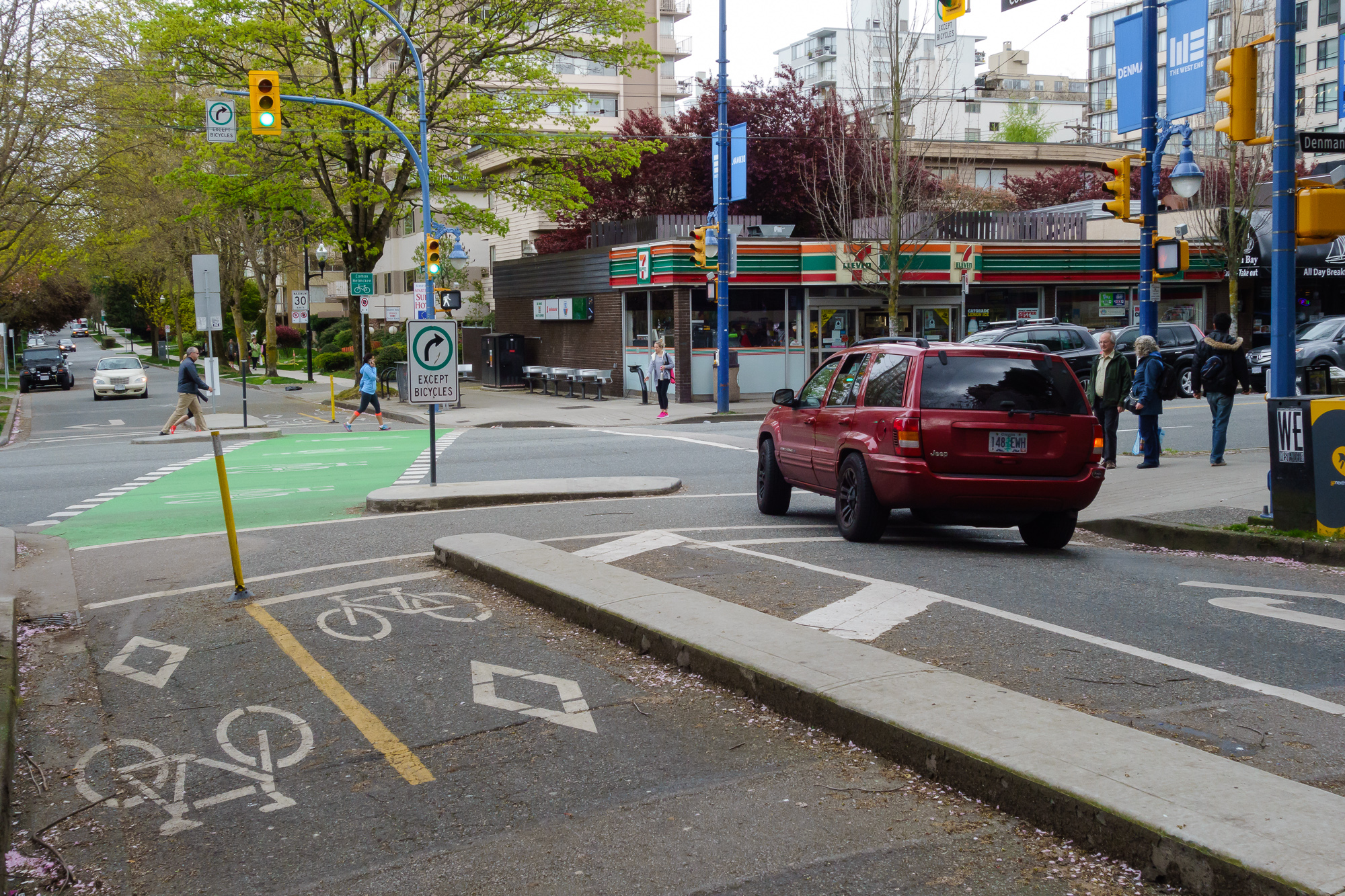
At the Chilco intersection (described earlier). We’ll keep going straight - sharrows as far as you can see. It does get a little bit busy through these blocks.
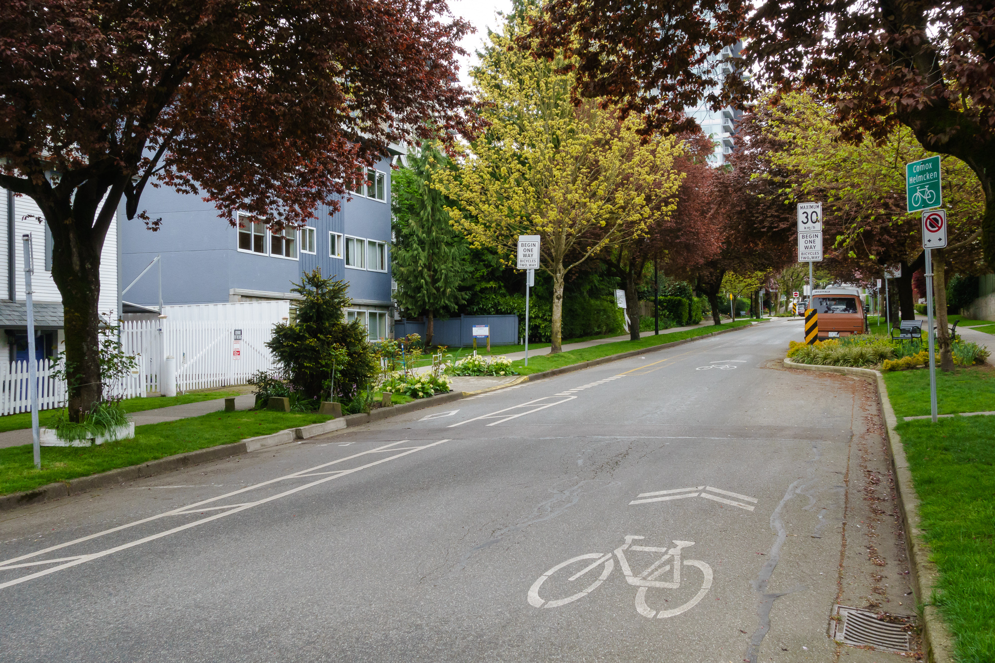
At the intersection with Denman. Cars can only turn right, which limits the usefulness and thus traffic of this road. Sharrows lead you into the bike bay.

After crossing the intersection and looking back - again, one way for cars and they can only turn right.
A bit further up, looking back towards Denman. There are breaks in the separation to allow exiting the bike lanes to get into apartments. It look like small bays were cut into the kerb to allow some car parking - there are no bays like this anywhere else in the West End that I’m aware of.

Our separated lane ends, as does the one way nature of the street.
The intersection with Cardero. To the right is the pedestrianised block and the Primary School.
The road becomes one way again, in the opposite direction. Sharrows going up the hill, a painted line going down the hill.
The next block is Nicola. The one way car lane reverses again, as does the bike markings (sharrows going down the hill, painted line going up the hill)
 \
\
Looking back down from the next block.
And up - no more paint
Then we reach Bute, where we carry on down towards Thurlow, then Burrard
- you can pick it up a few steps into ‘Plan C’ here