Western Victoria Quarter Part 4: Pedestrian Hostile Intersection Design
No intersection within the entire Victoria Quarter has been designed or retrofitted to create comfortable, safe crossing for pedestrians. The map below highlights the areas that will make up the bulk of the discussion in this section.

The Intersections are numbered for discussion. I’ll show a historical map for each, some example photos and some historical photos to show (mostly) that these streets were massive long before cars came along.
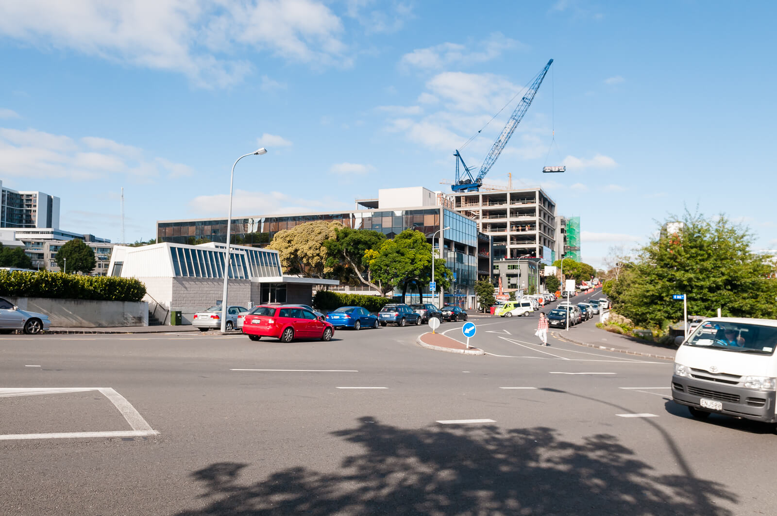
1. Drake and Union Street
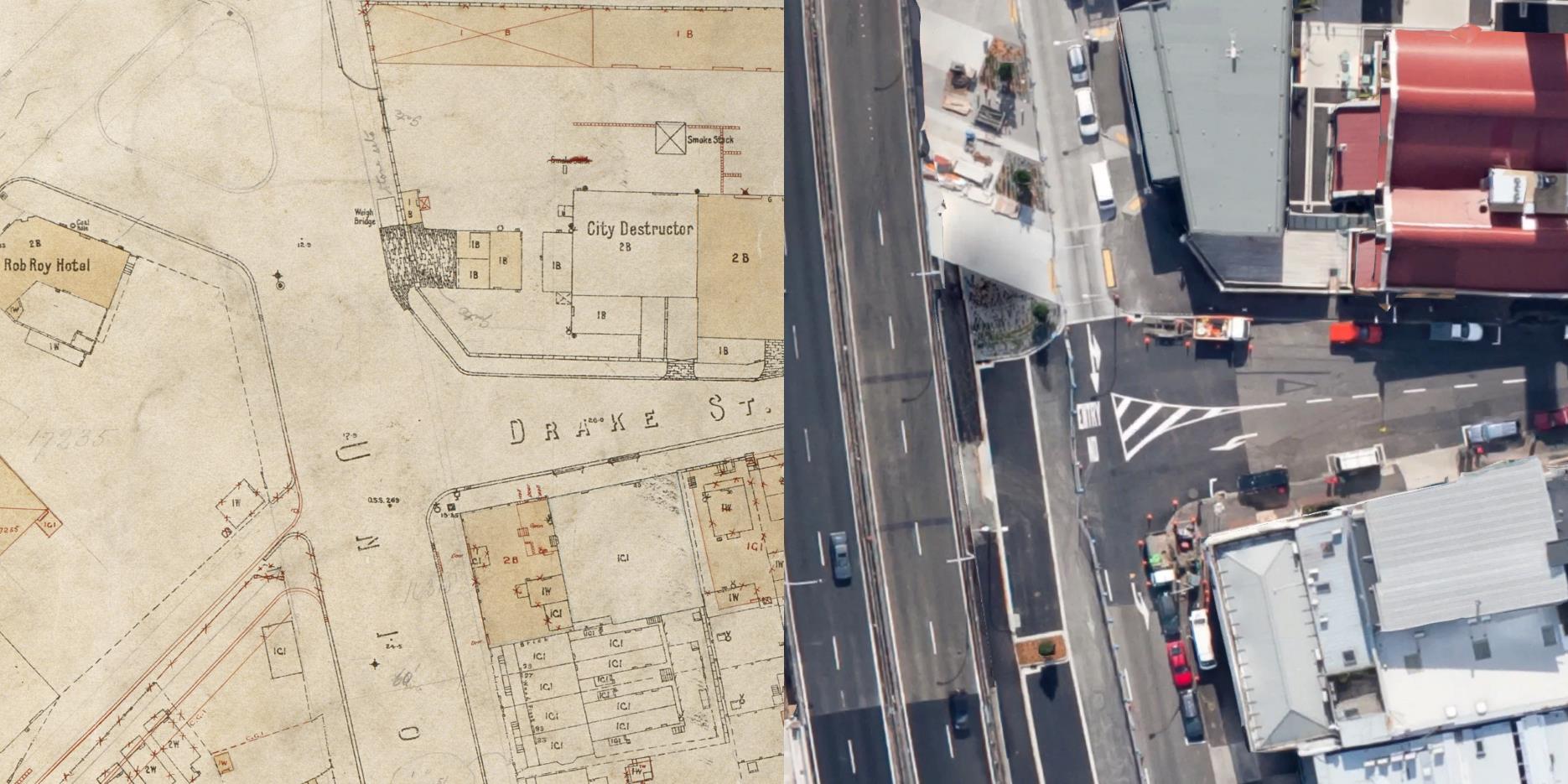
City of Auckland Map, 5 November 1919, ACC 014 Record E10, Auckland Council Archives
Union Street is inappropriately wide for the marked 50kph limit and used primarily for cars to cut through to Cook Street or higher up Union Street. There is no safe crossing where it meets with Drake Street.

The raised table granting access to Victoria Park is a positive, but difficult to access from most approaches. The median strip could feasibly be intended to serve as a pedestrian refuge.
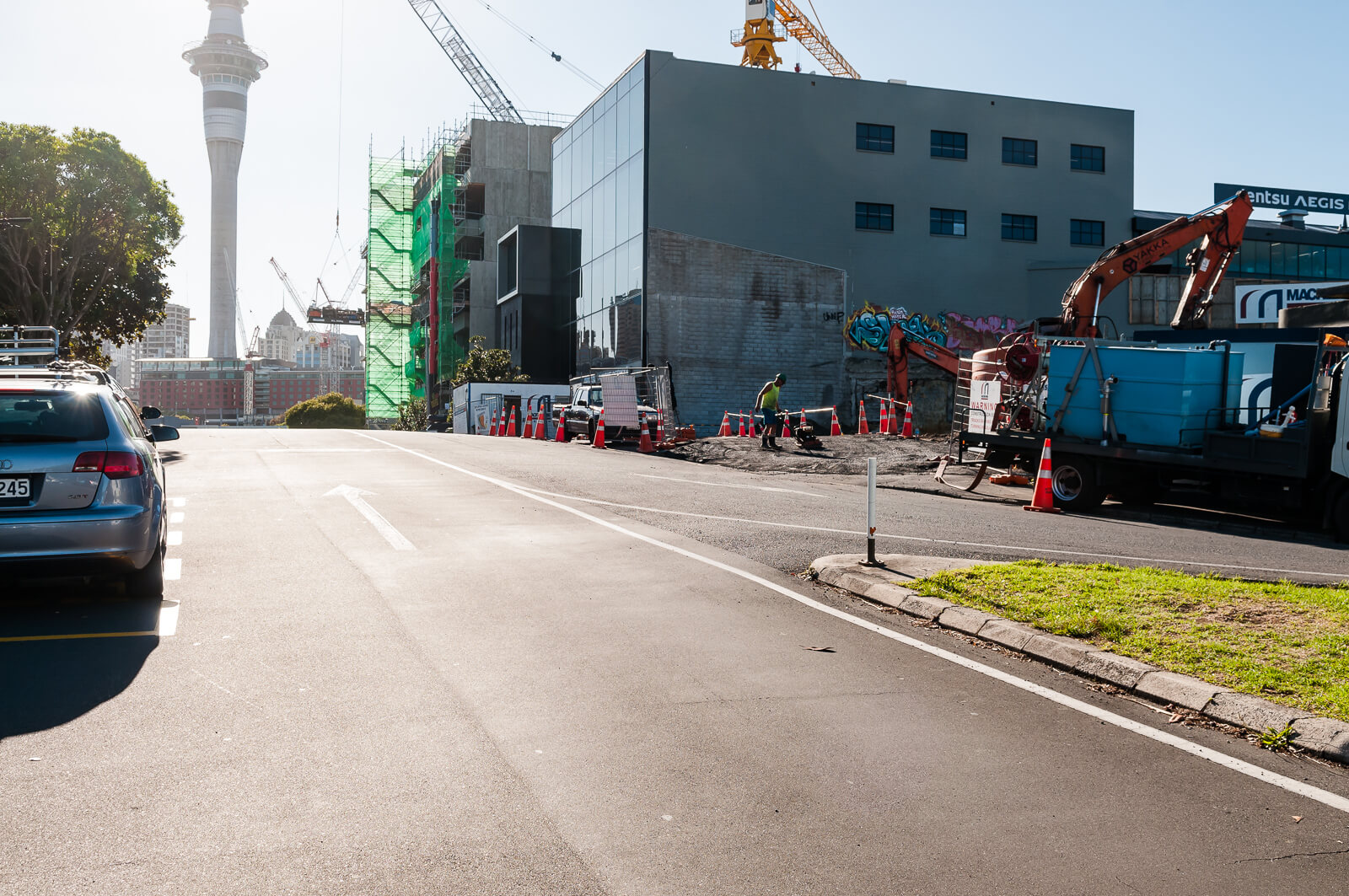
Six car widths for a quiet, local street, minutes from the central city and an unnecessary barrier to pedestrians.

It is unlikely that the majority of these drivers are heading to local businesses - the visible tyre marks indicate a trend to the right, heading up to Cook Street. There is a motorway off-ramp located nearby that achieves exactly this and a selection of wide, high volume roads available to get uptown from Victoria Street.
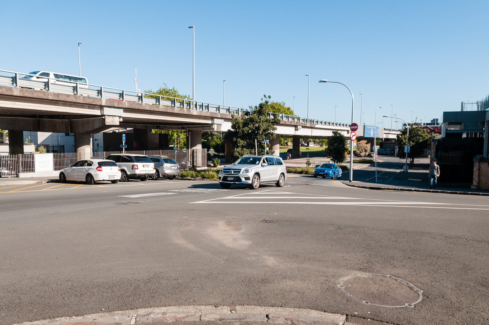
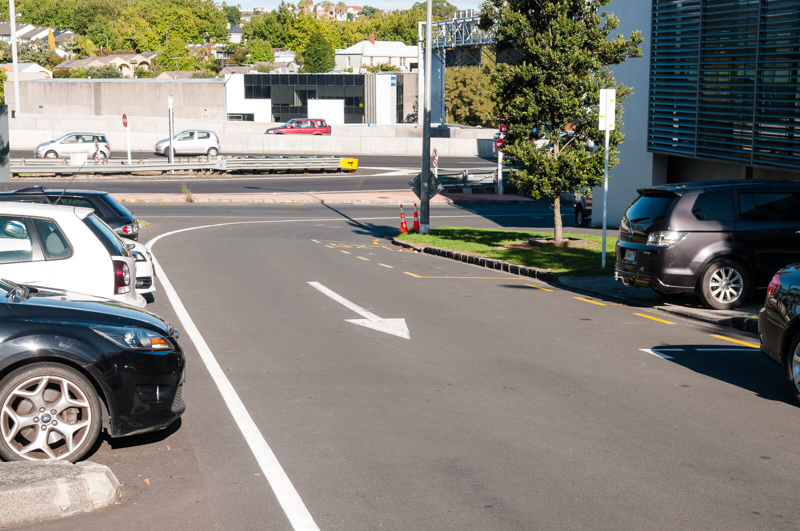
A ‘safe’ and inconvenient crossing is provided further up on Union Street. The image below is the view from the middle of the ‘crossing’ for context on how wide the street is, keeping in mind that cars will be in the process of ‘picking’ lanes here as they accelerate up the hill.

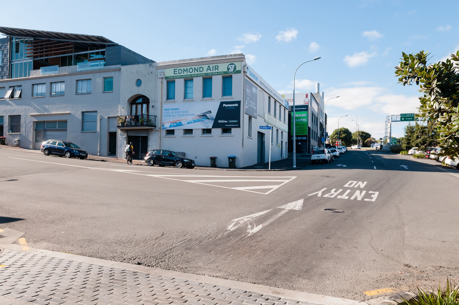
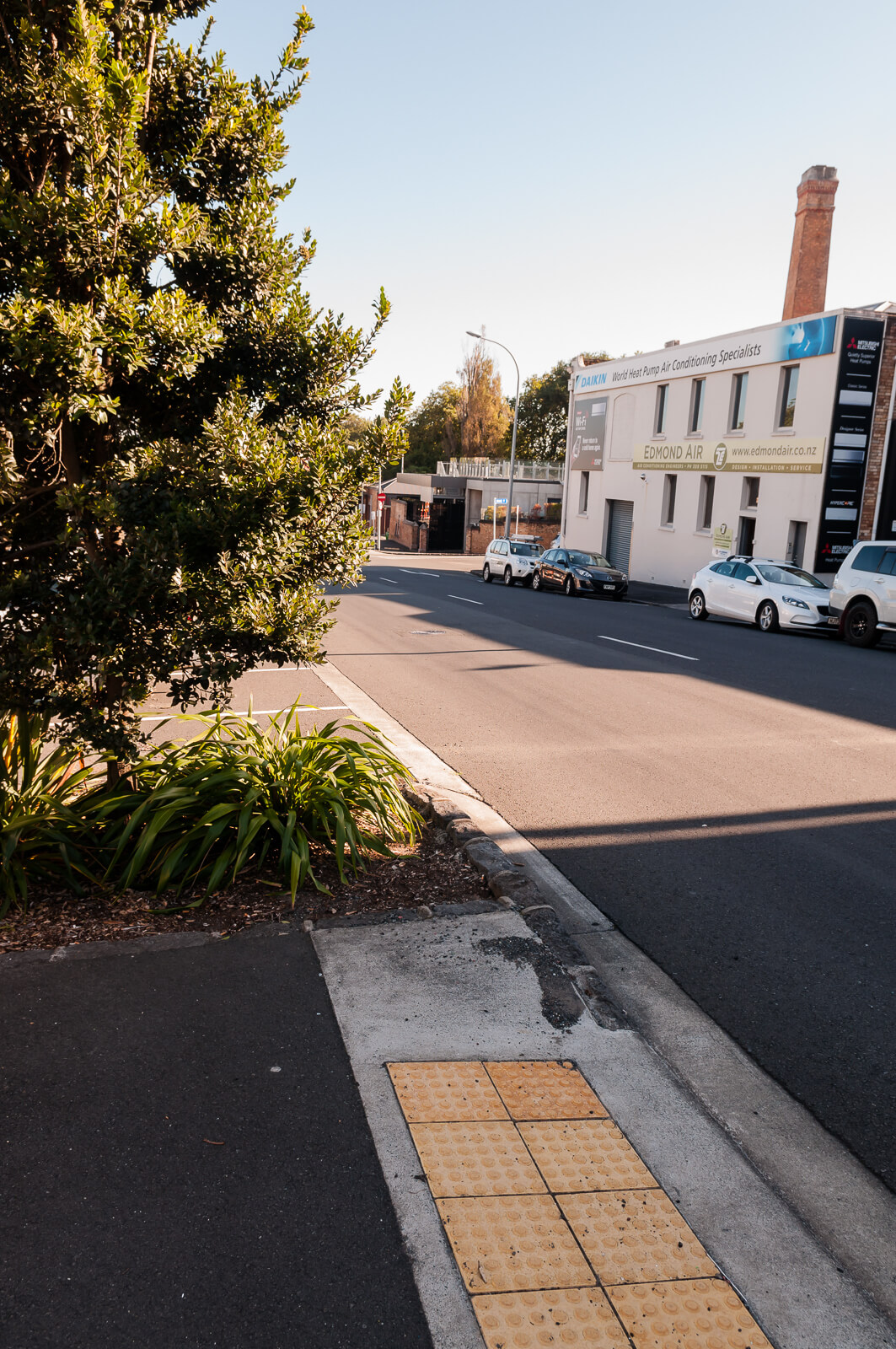
Though there are tactile pavers, they are unfortunately only on the North-Eastern end of the crossing – on the South-Western side you are required to enter the footpath via a driveway. Visibility down the street is also impacted by poor tree placement – for people with a bicycle, pram or wheelchair it is impossible to see approaching traffic without getting dangerously close to the road edge. I have raised a request with the council to trim or remove the tree, but no action has been taken.
Here it is in 1925.

Looking south up the centre of Union St (centre) from Patterson St (later Victoria St), showing (right) Rob Roy Hotel, St Thomas Church and (left) City Council Public Weighbridge, Clark Brothers, merchants, Metalace New Zealand Ltd (Sir George Grey Special Collections, Auckland Libraries, 4-2004)
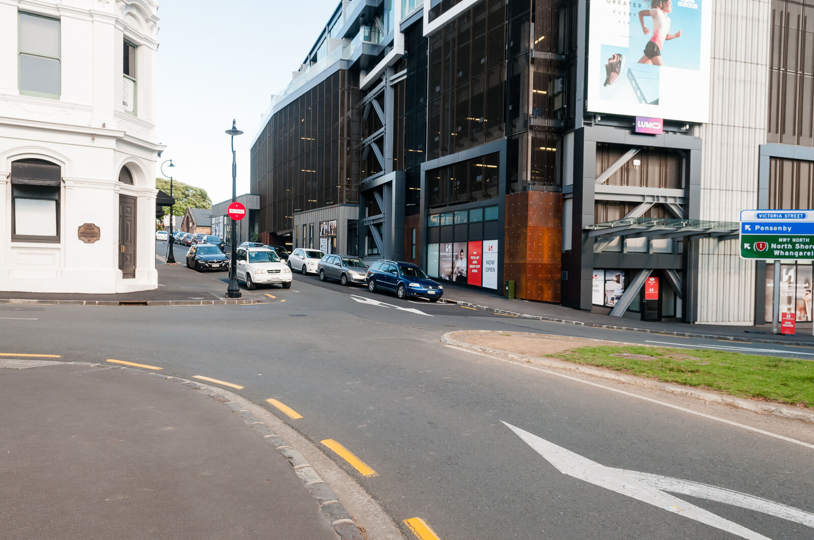
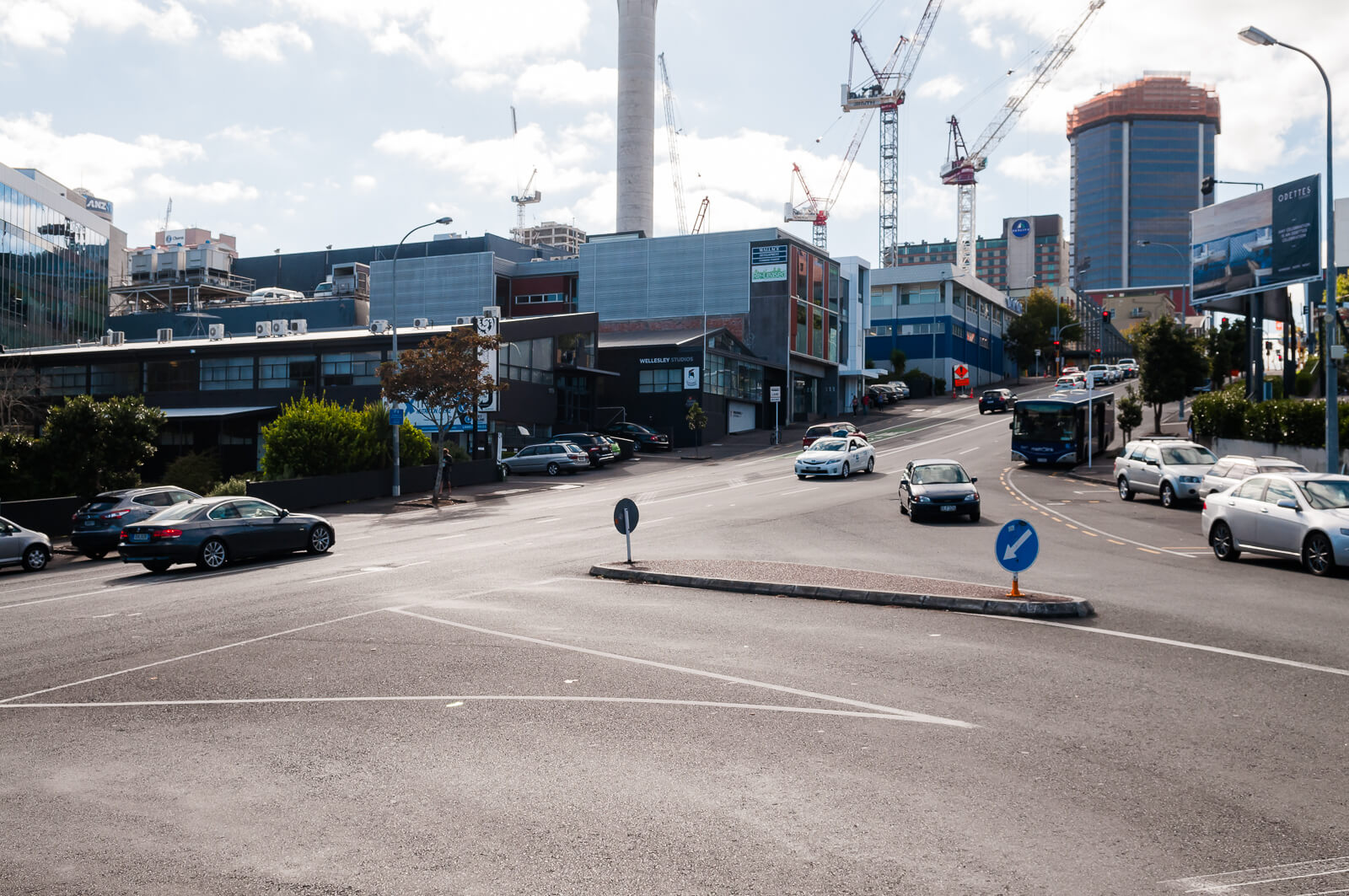
2. Drake/Vernon/Wellesley
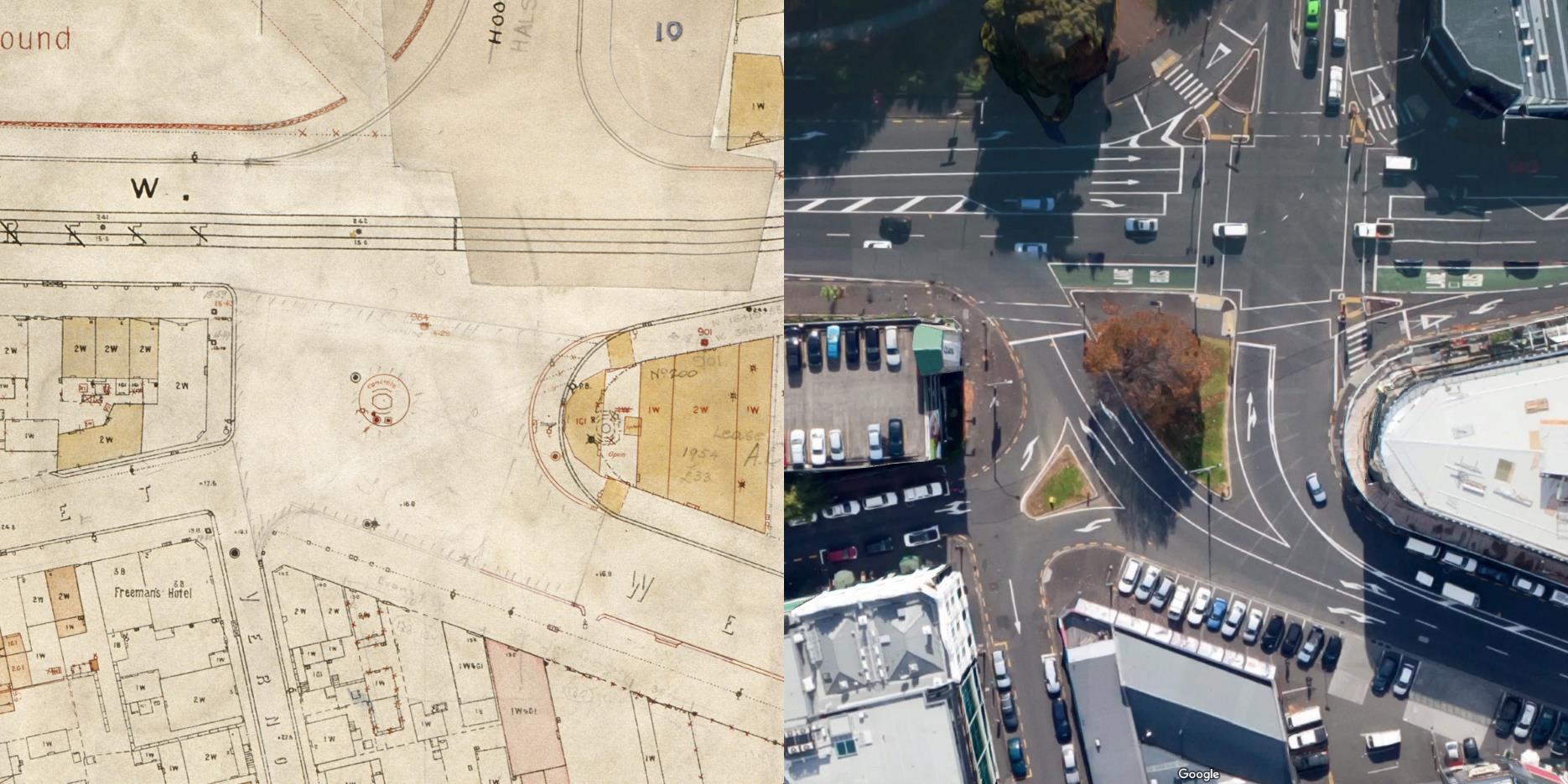
City of Auckland Map, 5 November 1919, ACC 014 Record E11, Auckland Council Archives
It is difficult to describe exactly why this intersection is so poor, due to the very strange nature of it. What is clear is that it has the goal of accommodating as many car movement options as possible, without any consideration for pedestrians. Cars approach from multiple directions, with sweeping corners allowing high speed manoeuvres in every direction. Visibility is reduced due to parked cars on all approaches. It’s unclear why a turn from Wellesley is provided, as there is a generous entrance on Sale Street only 150 meters up the hill. The double left turn slip lane onto Victoria is the only ‘safe’ crossing nearby.

Here it is in 1905

Looking north east from the city destructor chimney over Freemans Bay, showing Victoria Street West (left), Wellesley Street West (right), Drake Street (right foreground), Nelson Street (left to right background), Halsey Street (extreme left), premises of W Hildreth and son (left), Hardinge Street and Duke Street (now Takrouna Street, left, middle distance), Freemans Hotel (right foreground, later known as the Leopard Tavern), and St Patricks Cathedral (left, distance) (Sir George Grey Special Collections, Auckland Libraries, 1-W1247)
and 1928

Looking east south east from the intersection of Drake Street showing Wellesley Street West to Hobson Street, and Victoria Street West (left), St Matthews Church (right centre) (Sir George Grey Special Collections, Auckland Libraries, 4-2172)
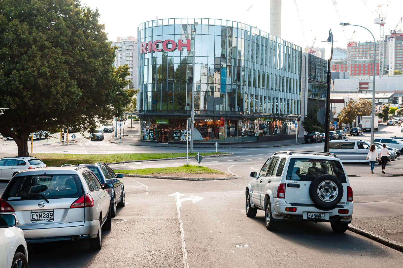
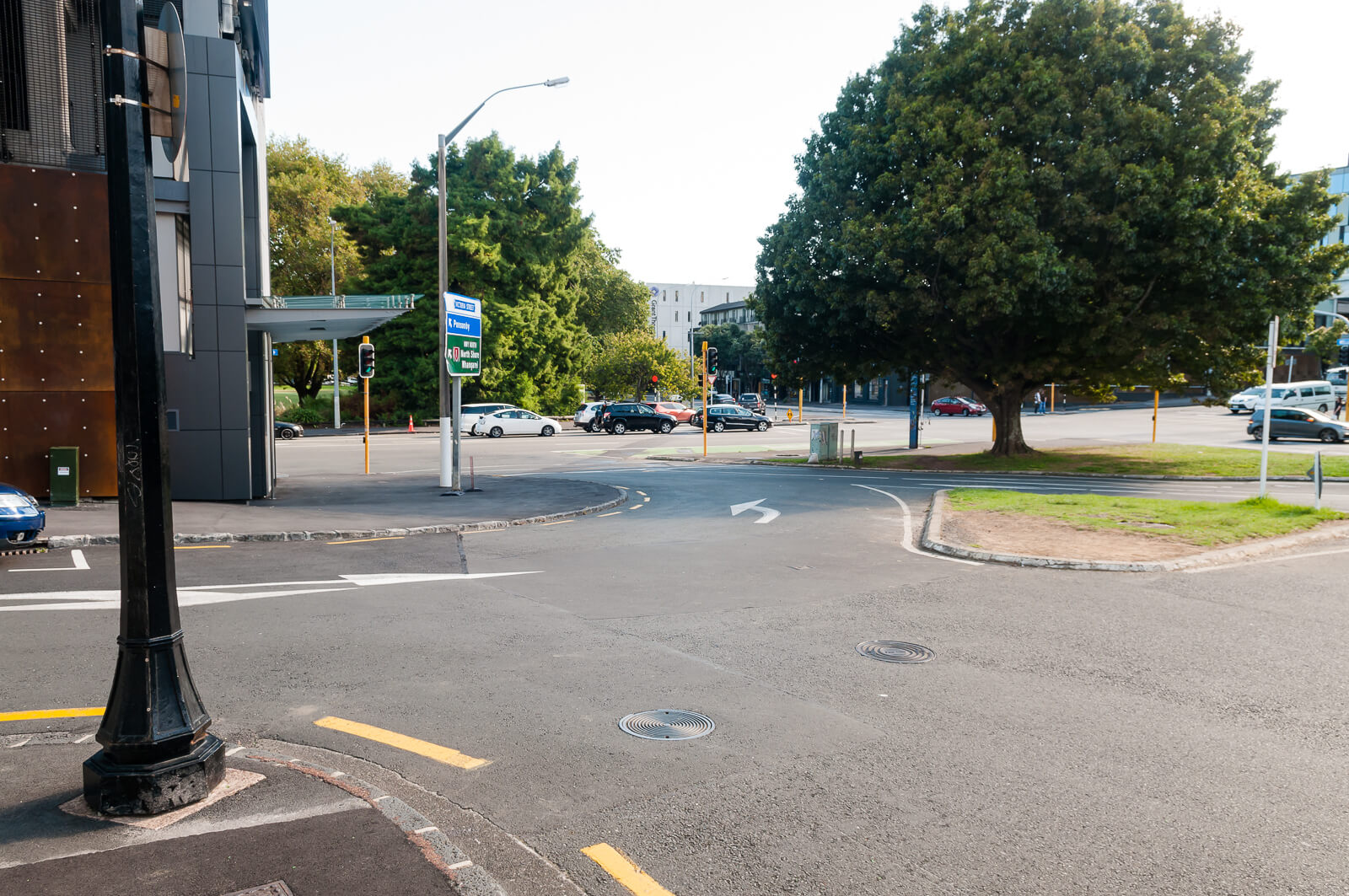
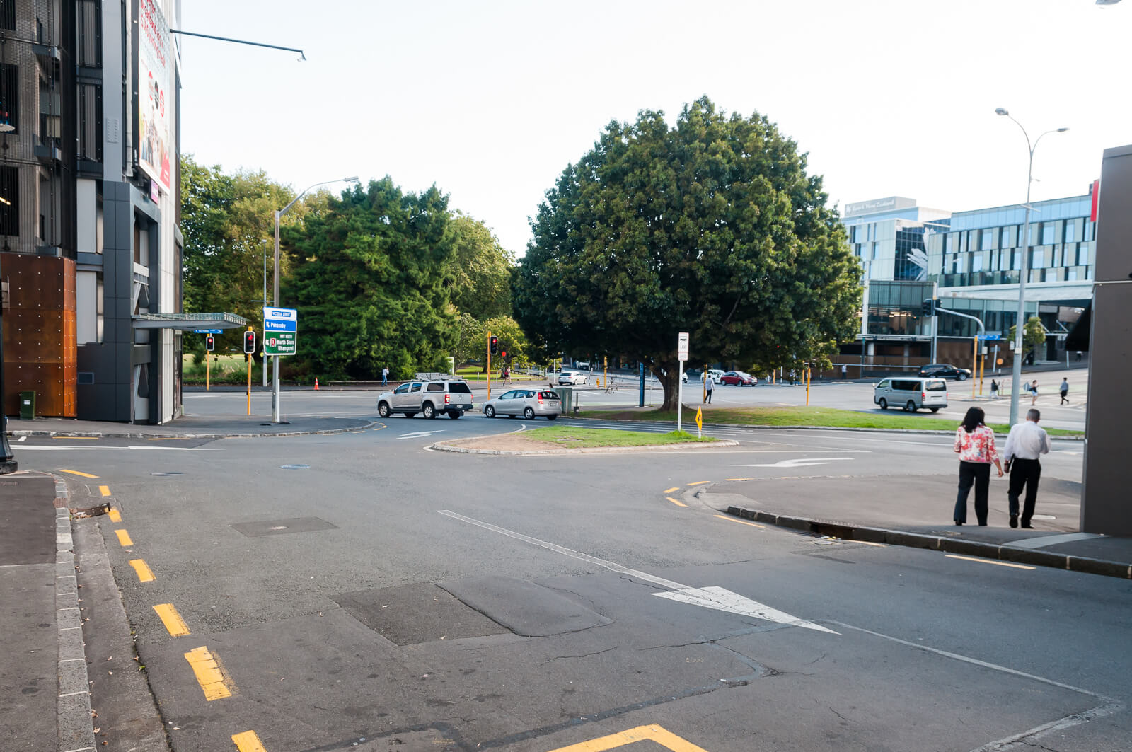
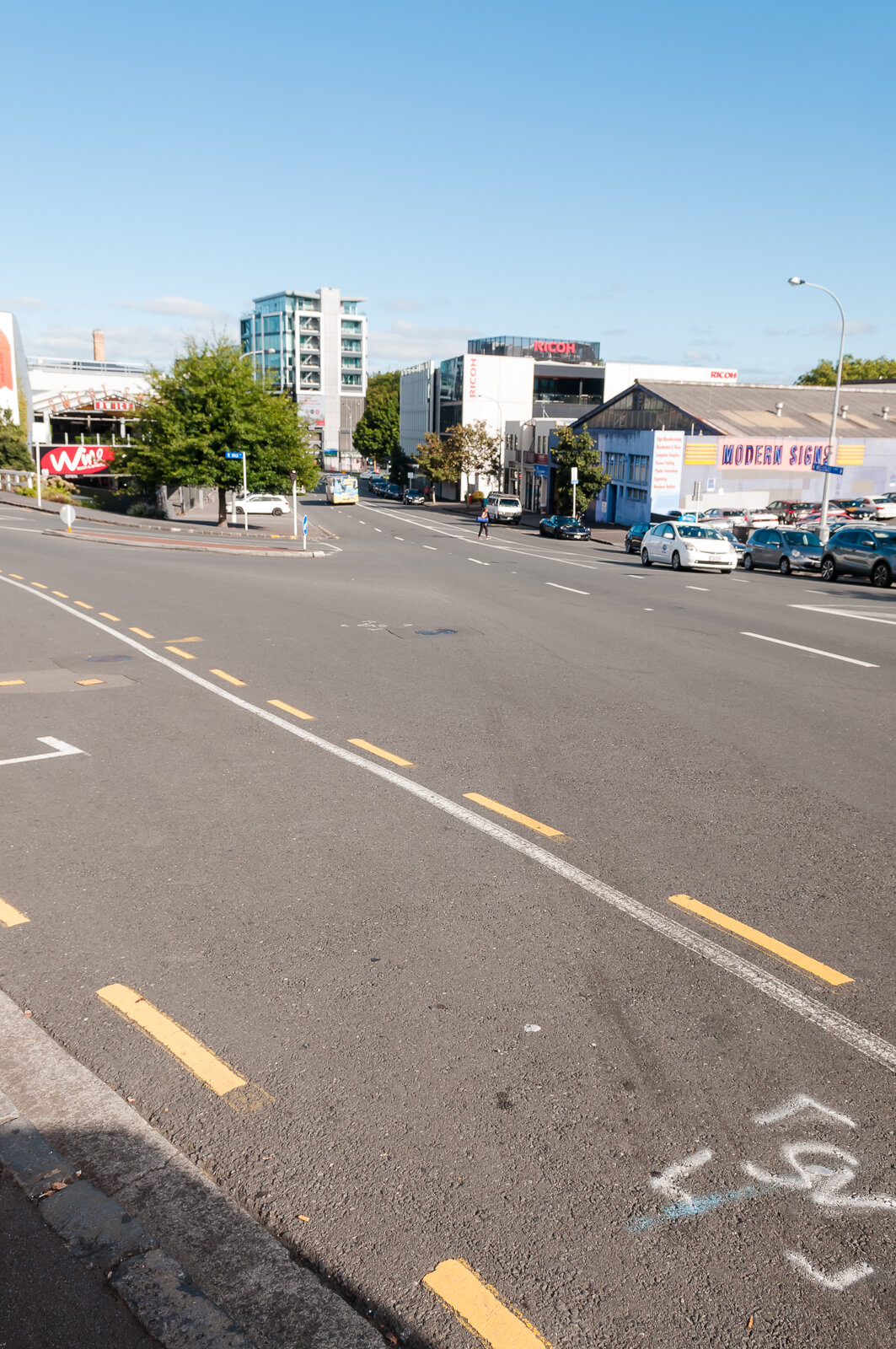
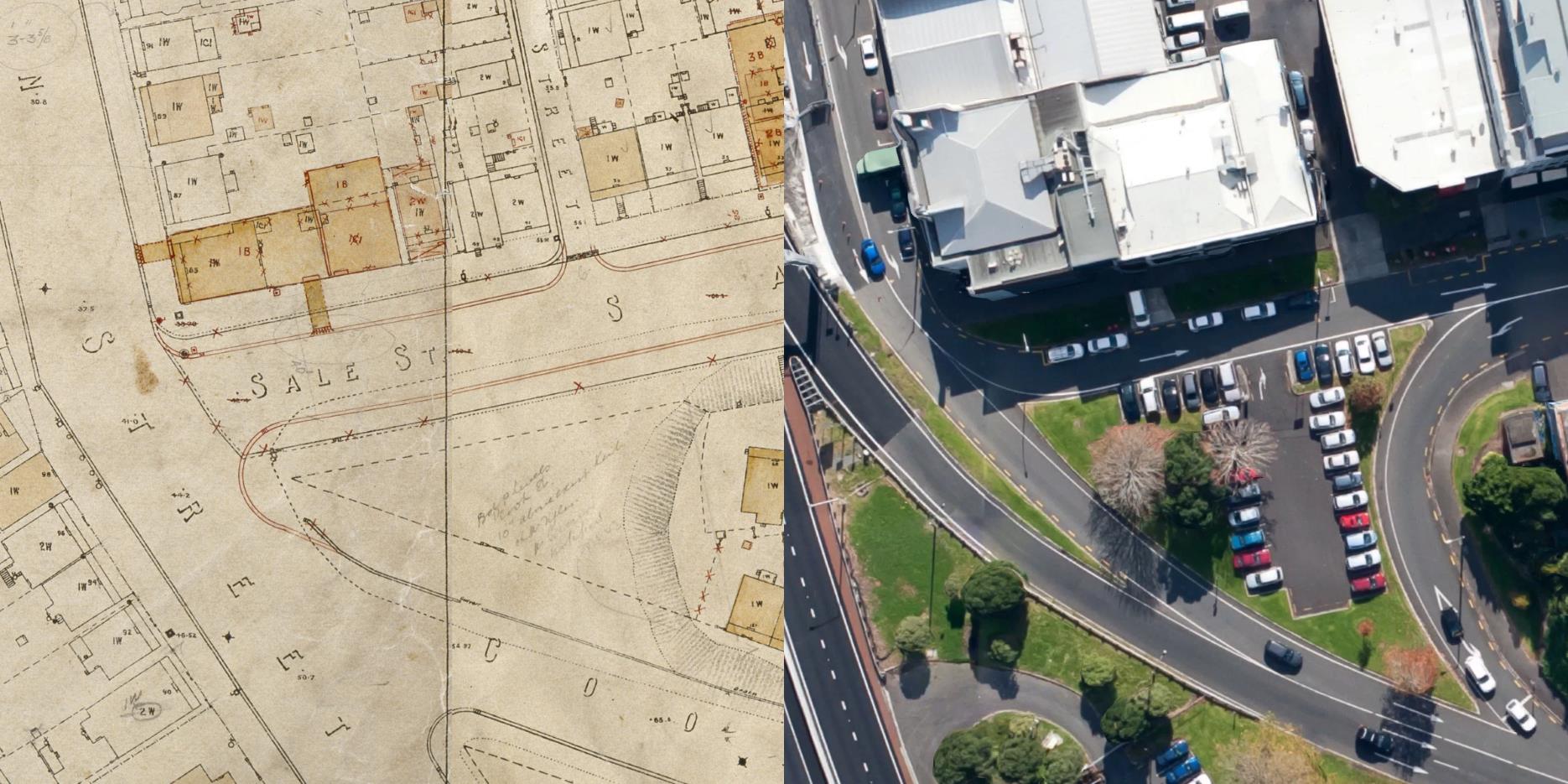
3. Wellesley/Sale Street
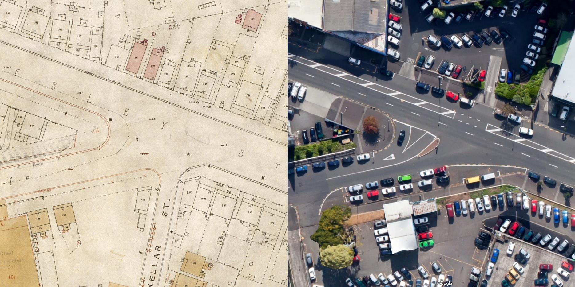
City of Auckland Map, 5 November 1919, ACC 014 Record E11, Auckland Council Archives
The main ‘gateway’ into Victoria Quarter is the opening of Sale Street onto Wellesley Street. Immediately on the intersection are Brew Bar, the City Works Depot, Les Mills and Glengarry. Multiple new office blocks and hundreds of existing and currently under construction residential units are within a few hundred meters.
A large volume of users in multiple modes make use of this intersection every day, but it is completely inappropriate for pedestrians – even if it were to be presumed that midblock crossings should be prevented, crossing the face of Sale Street is treacherous, with the wide radius of the corner allowing even trucks to corner at high speeds:
The expected increase in buses (see Part 1) and traffic pressures from the NZICC will only make this worse, all while an increase in residential and commercial population is occurring.
The issues preventing crossing need to be addressed to allow pedestrian movements in all directions to reconnect this area with the rest of Victoria Quarter and the rest of the city. Ignoring these needs presents a serious failure in regards to the safety of all users and the prioritisation of vehicle movements must be weighed against the needs and safety of local users.
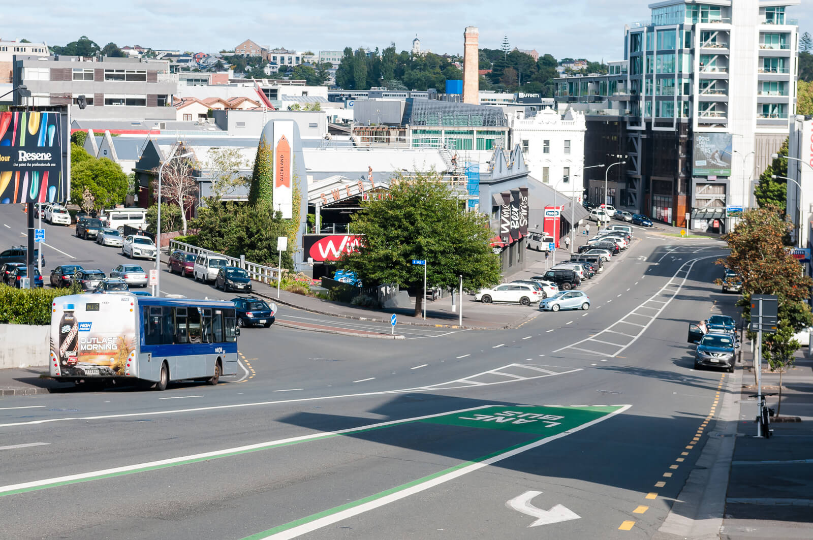
The scene presented to a pedestrian attempting to continue down Wellesley Street


The already wide intersection is widened further by another, smaller road alongside it, used exclusively for parking, immediately adjacent to the large Tournament Carpark.
And some historical perspective:
1905

Looking east from the city destructor chimney, showing Wellesley Street West and St Matthews Church (left), Drake Street (extreme left foreground), Adelaide Street (diagonally foreground), Sale Street (diagonally across centre), MacKellar Street (left to right), Nelson Street (left to right nearer background), and Nelson Street School (Sir George Grey Special Collections, Auckland Libraries, 1-W1245)
1921

Looking west from St Matthews Church tower across Freemans Bay towards Ponsonby, showing Wellesley Street West, (diagonal right), Nelson Street, (left to right near foreground), Sale Street, (diagonal left of centre), Victoria Street West, (diagonal right of centre) merging into College Hill, Auckland Gas Company works, (right of centre), Victoria Park, (right), Auckland City Council destructor chimney, (centre), and the Nelson Street Primary School, (lower left) (Sir George Grey Special Collections, Auckland Libraries, 4-4806)
1928

Looking west from Wellesley Street West towards Ponsonby Road, showing Sale Street (left), Ross and Glendining Limited (foreground), clothing manufacturers, Freemans Hotel (later known as the Leopard Tavern) on the corner of Vernon Street and Drake Street (right) and College Hill Road (background) (Sir George Grey Special Collections, Auckland Libraries, 1-W276)
4. Sale/Cook Street
City of Auckland Map, 5 November 1919, ACC 014 Record E10 and E11, Auckland Council Archives
What was a simple intersection and what should now be a quiet, (vehicle) dead-end is once again impacted by a wide, sweeping, left turn, blind rise and no safe pedestrian crossing.

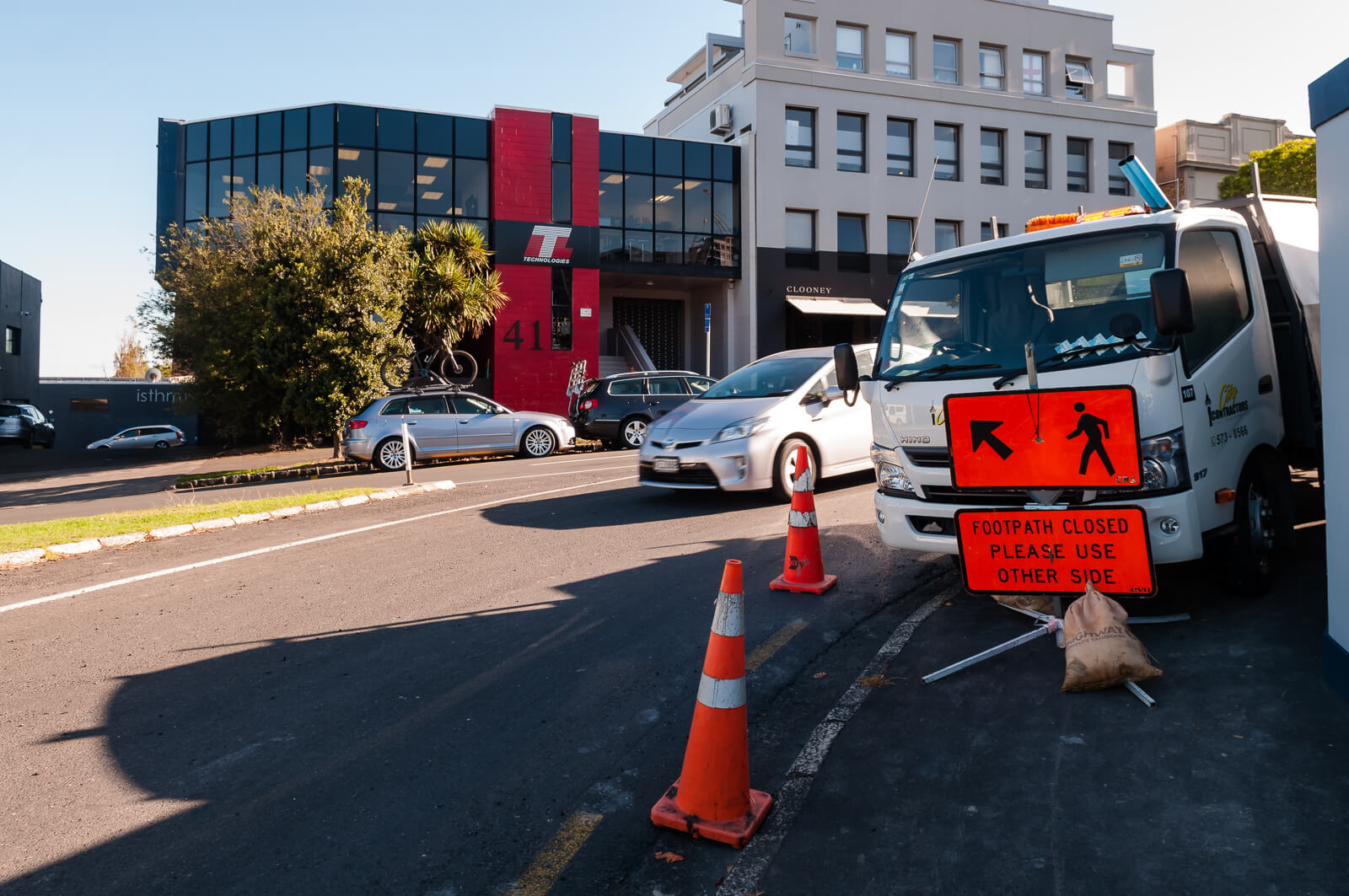
This photo presents an extreme case that will hopefully be short lived, but it is reality as of today and visibility is not much better without the truck due to the blind rise and generally high speed of cars.
The area in 1928 (not from Wellesley street as caption, likely from Destructor):

Looking south west from Wellesley Street towards Ponsonby, showing the south side of Sale Street, the premises of Steel Construction Company and some houses in Freemans Bay (Sir George Grey Special Collections, Auckland Libraries, 1-W278)
Who’s fault is this?
I don’t care.
Wrapping up
- Victoria Quarter is singled out in the Auckland District Plan, the Auckland Plan and the City Centre Master Plan as a place destined to be a ‘vibrant urban community’, ‘for families seeking an inner-city lifestyle’, but requiring “Significant investment in amenity of the area and its streets’
- The current design of the area is neither vibrant nor urban and the road designs bordering the area preclude any connectivity with the remainder of Victoria Quarter or the wider city
- There is no stated or existing plan to perform the needed investment in the amenity of the area
- A large number of new residential and commercial buildings are already underway
- This area is and will be very well supported by Transit, including the Northern Express and trains upon completion of the City Rail Link, but the entire focus at present is on car access and parking
Desired Outcomes
There are four major issues that need to be addressed to achieve the stated goals:
- The Cook Street motorway off-ramp severs connectivity to the South, with any changes hung up in NZTA route protection for the AWHC, currently slated for decade 3 by ATAP
- A history of choices, actions and inactions have resulted in Victoria Quarter being a glorified parking lot, with a high priority placed on car parking and car movements at speed, against all stated goals for the area and good access to transit
- Major intersections in and out of the area favour vehicles and provide a dangerous barrier to pedestrians, especially children, the elderly and infirm. Expected increases to the number of buses on Wellesley Street across Sale Street will further enforce this barrier.
- Existing pedestrian amenities fall well short all NZTA and ATCOP standards and the area does not meet even basic access needs to those in wheelchairs or experiencing other impairments
Short Term:
- Identify or assign a hierarchy of needs/uses for the area
- Address poor intersection design with kerb buildouts, tactical urbanism
- Create a traffic plan to limit the area to local traffic only, as far as is reasonable
- Provide a temporary solution to address the severance of Cook Street
- Produce a safe, midblock crossing
- Introduce speed reduction tools to slow Cook Street off-ramp traffic
- Grade separate Cook Street off-ramp traffic from local traffic
- Reduce parking and reinstate adequate, compliant footpaths to improve pedestrian amenity
- Implement 30pkh speed limit throughout the area
Medium-Long Term:
- Develop plan to fully implement hierarchy of needs/use for the area
- Creation of a tangible desired state for the area, in the context of the user hierarchy
- Use the City Centre Masterplan definitions to create tangible goals
- Perform a gap analysis and development of a plan to address issues with current best practise, or better
- Improved connections to Freemans bay
Anything else?
As long as this was, consider the things I haven’t covered at all:
- How utterly awful the City Works Depot is
- Nelson Street, Victoria Street or Southern Union Street
- Public spaces and Trees, greenery
- Cycling and bicycle parking (or lack thereof)
- The loss of entire streets
- The loss of street facing ‘fine grained’ building styles
- The loss of inner city housing stock that may well be extremely valuable today (look at those little picket fences!)
- There used to be a school (schools?) here
Other posts
- Part 1: Introduction
- Part 2: Cook Street and Motorway Severance
- Part 3: Vehicle Prioritisation and Pedestrian Design Failures